John Muir Trail
Wilderness Press (Verlag)
978-0-89997-736-2 (ISBN)
- Titel erscheint in neuer Auflage
- Artikel merken
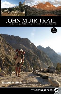
Elizabeth Wenk's authoritative guide describes the 212-mile John Muir Trail, running from Yosemite Valley to the summit of Mt. Whitney. John Muir Trail provides all the necessary planning information, including up-to-date details on wilderness and permit regulations, food resupplies, trailhead amenities, and travel from nearby cities. Useful essentials are updated GPS coordinates and maps for prominent campsites (along with an updated list of sites along the trail), trail junctions, bear boxes, and other points of interest. The trail descriptions also include natural and human history to provide a workout for both body and mind -- a must-have for any Muir Trail enthusiast. Note that the text includes the southbound trail description, while the full guide with the northbound description is available as a separate ebook product.
Since childhood, Elizabeth Wenk has hiked and climbed in the Sierra Nevada with her family. After she started college, she found excuses to spend every summer in the Sierra, with its beguiling landscape, abundant flowers, and near-perfect weather. During those summers, she worked as a research assistant for others and completed her own Ph.D. thesis research on the effects of rock type on alpine plant distribution and physiology. But much of the time she hikes simply for leisure. Obsessively wanting to explore every bit of the Sierra, she has hiked thousands of on- and off-trail miles and climbed more than 600 peaks in the mountain range. Recently she has directed her wanderings to gather data for several Wilderness Press titles and to introduce her two young daughters to the wonders of the mountains. She lives in Sydney, Australia.
List of MapsAcknowledgments
Introduction
Planning Your Hike
On the Trail
Sierra Nevada History
Cumulative Mileage Table
North to South: Yosemite Valley to Whitney Portal
Happy Isles to Tuolumne–Mariposa County Line
Tuolumne–Mariposa County Line to Donohue Pass
Donohue Pass to Island Pass
Island Pass to Madera–Fresno County Line
Madero–Fresno County Line to Silver Pass
Silver Pass to Selden Pass
Selden Pass to Muir Pass
Muir Pass to Mather Pass
Mather Pass to Pinchot Pass
Pinchot Pass to Glen Pass
Glen Pass to Forester Pass
Forester Pass to Trail Crest
Trail Crest to Whitney Portal
Side Trips to Peaks, Vista Points, and Lake Basins
Appendix A: JMT Lateral Trails and Nearby Towns
Appendix B: Campsites
Appendix C: Food-Storage Boxes (Bear Boxes)
Appendix D: Plants Referenced in Text
Appendix E: Bibliography and Suggested Reading
Index
About the Author
| Erscheint lt. Verlag | 19.6.2014 |
|---|---|
| Zusatzinfo | B&W photos throughout; maps throughout |
| Verlagsort | Berkeley |
| Sprache | englisch |
| Maße | 139 x 215 mm |
| Gewicht | 354 g |
| Themenwelt | Sachbuch/Ratgeber ► Gesundheit / Leben / Psychologie |
| Sachbuch/Ratgeber ► Sport | |
| Reiseführer ► Nord- / Mittelamerika ► USA | |
| ISBN-10 | 0-89997-736-7 / 0899977367 |
| ISBN-13 | 978-0-89997-736-2 / 9780899977362 |
| Zustand | Neuware |
| Informationen gemäß Produktsicherheitsverordnung (GPSR) | |
| Haben Sie eine Frage zum Produkt? |


