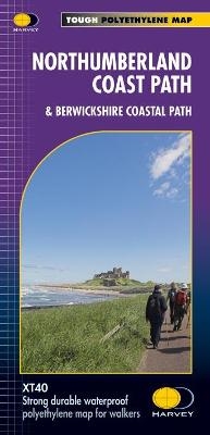
Northumberland Coast Path
& Berwickshire Coastal Path
Seiten
2018
Harvey Map Services Ltd (Verlag)
978-1-85137-522-6 (ISBN)
Harvey Map Services Ltd (Verlag)
978-1-85137-522-6 (ISBN)
- Titel erscheint in neuer Auflage
- Artikel merken
Zu diesem Artikel existiert eine Nachauflage
Entire route on one map
The Northumberland Coast Path stretches for 103km (64 miles) from Cresswell in the south to Berwick-upon-Tweed in the north, then the Berwickshire Coastal Path continues for 48km (28m) to Cockburnspath. Both routes are on this map and they form part of the North Sea Trail.
The Northumberland Coast Path offers some of the finest coastal walking in the country with rugged coastline, stunning cliff scenery and panoramic views.
Tough, light, durable and 100% waterproof
Includes Rights of Way
Route clearly marked
| Erscheint lt. Verlag | 31.5.2018 |
|---|---|
| Reihe/Serie | Trail Map XT40 |
| Verlagsort | Perthshire |
| Sprache | englisch |
| Maße | 115 x 245 mm |
| Gewicht | 34 g |
| Themenwelt | Sachbuch/Ratgeber ► Sport |
| Reisen ► Karten / Stadtpläne / Atlanten ► Europa | |
| ISBN-10 | 1-85137-522-8 / 1851375228 |
| ISBN-13 | 978-1-85137-522-6 / 9781851375226 |
| Zustand | Neuware |
| Haben Sie eine Frage zum Produkt? |
Mehr entdecken
aus dem Bereich
aus dem Bereich
Karte (gefalzt) (2023)
Freytag-Berndt und ARTARIA (Verlag)
12,90 €
Straßen- und Freizeitkarte 1:250.000
Karte (gefalzt) (2023)
Freytag-Berndt und ARTARIA (Verlag)
12,90 €
Baskenland, Navarra, Aragon, Andorra, Katalonien
Karte/Kartografie (2023)
MAIRDUMONT (Verlag)
11,95 €


