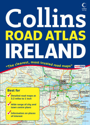
Comprehensive Road Atlas Ireland
Seiten
2008
Collins (Verlag)
978-0-00-725843-7 (ISBN)
Collins (Verlag)
978-0-00-725843-7 (ISBN)
- Titel ist leider vergriffen;
keine Neuauflage - Artikel merken
Zu diesem Artikel existiert eine Nachauflage
Scale 1:200,000 (3.2 miles to 1 inch).
Clear, detailed road mapping of Ireland presented as an A4 format road atlas featuring attractive layer colouring to show land height.
Along with the road mapping there is also a wide range of detailed town and city centre plans, all of which are fully indexed.
MAIN FEATURES
Detailed, general purpose road map of Ireland in a handy A4 format. Ideal for both business and pleasure use. The atlas contains a range of mapping scales from a 1:1 million route planning map through to detailed town centre street plans.
The main road mapping is packed with detail showing:
• comprehensive colour classified road network
• toll roads clearly marked
• land height shown by the use of attractive layer colouring
• Tourist information centres and offices clearly shown
• wide range of tourist features plotted and categorized using symbols
There is also a wide range of fully indexed town and city centre maps.
These include:
Bangor
Belfast
Cork
Drogheda
Dublin
Dún Laoghaire
Galway
Killarney
Limerick
Londonderry (Derry)
Waterford
WHO THE TITLE IS OF INTEREST TO
This is a general purpose map for those who want a high level of mapping detail at a variety of scales.
AREA OF COVERAGE
Covers the whole of the Republic of Ireland plus Northern Ireland.
| Erscheint lt. Verlag | 7.4.2008 |
|---|---|
| Zusatzinfo | Index |
| Verlagsort | London |
| Sprache | englisch |
| Maße | 210 x 297 mm |
| Gewicht | 497 g |
| Themenwelt | Reisen ► Karten / Stadtpläne / Atlanten ► Europa |
| ISBN-10 | 0-00-725843-7 / 0007258437 |
| ISBN-13 | 978-0-00-725843-7 / 9780007258437 |
| Zustand | Neuware |
| Haben Sie eine Frage zum Produkt? |
Mehr entdecken
aus dem Bereich
aus dem Bereich
Buch | Spiralbindung (2024)
Freytag-Berndt und ARTARIA (Verlag)
29,90 €


