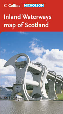
Collins/Nicholson Inland Waterways Map of Scotland
2006
|
A5 edition
Nicholson (Verlag)
978-0-00-721116-6 (ISBN)
Nicholson (Verlag)
978-0-00-721116-6 (ISBN)
- Titel ist leider vergriffen;
keine Neuauflage - Artikel merken
A new map of the Scottish inland waterways clearly showing locks, towpaths and boating facilities along with comprehensive navigational notes and large scale inset maps.
For anyone and everyone with an interest in the Scottish waterways.
Includes the restored Forth & Clyde and Union Canals.
Features:
• locks, briges, aqueducts, winding holes and the towpath;
• waterpoints, sanitary stations, pump out facilities and refuse disposal;
• boatyards, marinas, pubs, restaurants and shops;
• mile markers and milestones (distance in miles and number of locks to strategic points);
• history, local services and places of interest, opportunities for walking and cycling;
• comprehensive navigational notes include maximum dimensions, advice and potential hazards;
• navigational authorities, contact details and internet links.
Waterways covered on the map – Caledonian Canal, Crinan Canal, Forth & Clyde Canal, River Clyde, Monkland Canal, Union Canal, River Leven, Loch Lomond.
| Erscheint lt. Verlag | 6.3.2006 |
|---|---|
| Zusatzinfo | col. |
| Verlagsort | Edinburgh |
| Sprache | englisch |
| Maße | 148 x 210 mm |
| Gewicht | 130 g |
| Themenwelt | Natur / Technik ► Fahrzeuge / Flugzeuge / Schiffe ► Schiffe |
| Reisen ► Karten / Stadtpläne / Atlanten ► Europa | |
| ISBN-10 | 0-00-721116-3 / 0007211163 |
| ISBN-13 | 978-0-00-721116-6 / 9780007211166 |
| Zustand | Neuware |
| Haben Sie eine Frage zum Produkt? |
Mehr entdecken
aus dem Bereich
aus dem Bereich
For Everyone with an Interest in Britain’s Canals and Rivers
Karte (gefalzt) (2024)
Nicholson (Verlag)
11,20 €
