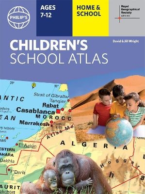
Philip's RGS Children's School Atlas
16th Edition
Seiten
2021
Philip's (Verlag)
978-1-84907-581-7 (ISBN)
Philip's (Verlag)
978-1-84907-581-7 (ISBN)
In Philip's RGS Children's Atlas, clear and accurate maps are combined with fascinating facts about the countries of the world to provide essential geographical information for young readers aged 7-12. Guidance for parents and teachers is given on how to use the maps, encouraging the early development of geographical skills.
"This is such a great book for primary school age children and a little beyond for finding out about the world, its countries and people" Amazon customer review
- Philip's atlas, designed specially to use at home and at school with guidance for parents and teachers
- Clear maps and fascinating facts bring geography to life for readers aged 7-12
- Published by Philip's the UK's leading school atlas publisher, in association with the Royal Geographical Society
- Quizzes, activity ideas and puzzles to make learning fun
- Past winner of the Geographical Association's award for making a significant contribution to geography
The atlas is organized spread by spread in the classic sequence: first Europe, then its land neighbour Asia, followed by Africa, Australia and Oceania, North America and South America.
Illustrated with captivating full-colour photographs and packed with fact boxes, curiosities, flags, stamps and quiz questions, Philip's RGS Children's Atlas is both fun to use and easy to understand.
Now in its 16th edition, Philip's RGS Children's Atlas is a past winner of the Geographical Association's award for making a significant contribution to geography. The atlas was judged "an excellent 'all round' children's atlas with simple yet well-designed maps, well-illustrated with colour photographs. It links places to issues, events and real people, giving a clear sense of place."
David and Jill Wright began their careers as geography teachers, before moving into teacher training. They travelled the world extensively, researching new material for educational and children's books. Sadly, David died in 2009, but his wife Jill continues to write about geography for children. Philip's has been at the forefront of creating maps and atlases since 1834. Whether a local street map or a fact-packed World Atlas, we use the most up-to-date technology, expertise and our global network to ensure our customers have all the information they need.
| Erscheinungsdatum | 07.10.2021 |
|---|---|
| Reihe/Serie | Philip's World Atlas |
| Verlagsort | London |
| Sprache | englisch |
| Maße | 246 x 322 mm |
| Gewicht | 700 g |
| Themenwelt | Reisen ► Karten / Stadtpläne / Atlanten ► Welt / Arktis / Antarktis |
| Schulbuch / Wörterbuch | |
| ISBN-10 | 1-84907-581-6 / 1849075816 |
| ISBN-13 | 978-1-84907-581-7 / 9781849075817 |
| Zustand | Neuware |
| Informationen gemäß Produktsicherheitsverordnung (GPSR) | |
| Haben Sie eine Frage zum Produkt? |
Mehr entdecken
aus dem Bereich
aus dem Bereich
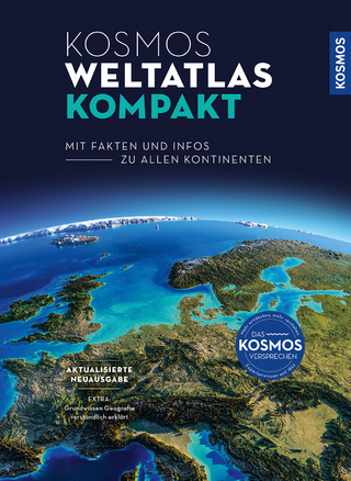
mit Fakten und Infos zu allen Kontinenten
Buch | Hardcover (2024)
Kosmos Kartografie in der Franckh-Kosmos Verlags-GmbH & Co. …
24,00 €
ikonische Designs von Berlin bis Tokio
Buch | Hardcover (2024)
Prestel (Verlag)
42,00 €


