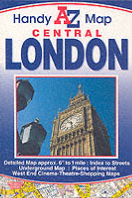
Handy Map of Central London
2002
|
Revised edition
Geographers' A-Z Map Co Ltd (Verlag)
978-1-84348-039-6 (ISBN)
Geographers' A-Z Map Co Ltd (Verlag)
978-1-84348-039-6 (ISBN)
- Titel erscheint in neuer Auflage
- Artikel merken
Zu diesem Artikel existiert eine Nachauflage
This useful pocket sized foldout street map of central London has a coverage that extends to Regent's Park (part), King's Cross Station, Shoreditch, Tower Bridge, Westminster Bridge, Hyde Park Corner and Marble Arch. An inset of the London Underground Map (central area) together with maps showing West End Theatres, Cinomas and Shopping Centres are included. The index to streets and selected flats and walkways is on the reverse side of the map.
| Erscheint lt. Verlag | 10.11.2002 |
|---|---|
| Reihe/Serie | Street Maps & Atlases S. |
| Zusatzinfo | M. |
| Sprache | englisch |
| Maße | 98 x 148 mm |
| Themenwelt | Reisen ► Karten / Stadtpläne / Atlanten ► Europa |
| ISBN-10 | 1-84348-039-5 / 1843480395 |
| ISBN-13 | 978-1-84348-039-6 / 9781843480396 |
| Zustand | Neuware |
| Haben Sie eine Frage zum Produkt? |
Mehr entdecken
aus dem Bereich
aus dem Bereich
Straßen- und Freizeitkarte 1:250.000
Karte (gefalzt) (2023)
Freytag-Berndt und ARTARIA (Verlag)
12,90 €
Karte (gefalzt) (2023)
Freytag-Berndt und ARTARIA (Verlag)
12,90 €
Östersund
Karte (gefalzt) (2023)
Freytag-Berndt und ARTARIA (Verlag)
12,90 €


