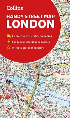
Collins London Handy Street Map
Seiten
2019
|
New edition
Collins (Verlag)
978-0-00-832058-4 (ISBN)
Collins (Verlag)
978-0-00-832058-4 (ISBN)
- Titel nicht im Sortiment
- Artikel merken
An essential companion whether you are travelling around London by car, public transport or on foot.
Clear and easy-to-read map of central London and surrounding area. Contains detailed mapping, presented in a handy compact format.
This attractive map, ideal for both tourists and residents, and fully updated, has an extensive area of coverage and displays a wealth of detail.
This map includes:
• New for this edition: Electric car recharging sites
• Fully classified roads
• Congestion charging zone & T-charge (Ultra Low Emission Zone from April 2019)
• Postal districts and boundaries clearly depicted
• Full indexes to street names (on back of map), place names and places of interest
• Fully updated London underground map conveniently located on the back cover
Covers this area:
Extends from Hampstead in the north to Clapham in the south and from Hammersmith in the west to Greenwich in the east.
Scale: 1:17,500 (3.6 inches to 1 mile)
Explore the world through accurate and up-to-date mapping.
| Erscheint lt. Verlag | 7.2.2019 |
|---|---|
| Zusatzinfo | Index |
| Verlagsort | London |
| Sprache | englisch |
| Maße | 112 x 192 mm |
| Gewicht | 90 g |
| Themenwelt | Reisen ► Karten / Stadtpläne / Atlanten ► Europa |
| Reisen ► Reiseführer | |
| ISBN-10 | 0-00-832058-6 / 0008320586 |
| ISBN-13 | 978-0-00-832058-4 / 9780008320584 |
| Zustand | Neuware |
| Haben Sie eine Frage zum Produkt? |
Mehr entdecken
aus dem Bereich
aus dem Bereich
Straßen- und Freizeitkarte 1:250.000
Karte (gefalzt) (2023)
Freytag-Berndt und ARTARIA (Verlag)
12,90 €
Karte (gefalzt) (2023)
Freytag-Berndt und ARTARIA (Verlag)
12,90 €
Östersund
Karte (gefalzt) (2023)
Freytag-Berndt und ARTARIA (Verlag)
12,90 €


