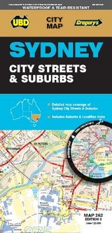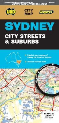
Sydney City Streets & Suburbs Map 262 7th ed (waterproof)
2018
|
Seventh Edition
UBD Gregory's (Verlag)
978-0-7319-3148-4 (ISBN)
UBD Gregory's (Verlag)
978-0-7319-3148-4 (ISBN)
- Titel erscheint in neuer Auflage
- Artikel merken
Zu diesem Artikel existiert eine Nachauflage
The latest edition of the Sydney City Streets & Suburbs Map has been fully revised and updated, and includes:
Coverage at scales of 1:25 000 and 1: 100 000;
Sydney City and surrounding suburbs at a scale of 1: 25 000 with coverage along the coast from Dee Why in the north to Malabar in the south; Inland from Gordon in the north to Kogarah in the south; North Head in the east and west of the city to Haberfield and Russell Lea;
Sydney suburban coverage at a scale of 1:100 000 from Gosford in the north Tahmoor in the south; Springwood in the west, and along the coast from Umina Beach in the north to Coalcliff in the south.
An index to suburbs and localities.
| Erscheint lt. Verlag | 2.11.2018 |
|---|---|
| Reihe/Serie | City Map |
| Zusatzinfo | N-A |
| Sprache | englisch |
| Maße | 1000 x 690 mm |
| Themenwelt | Reisen ► Karten / Stadtpläne / Atlanten ► Australien / Neuseeland / Ozeanien |
| ISBN-10 | 0-7319-3148-3 / 0731931483 |
| ISBN-13 | 978-0-7319-3148-4 / 9780731931484 |
| Zustand | Neuware |
| Informationen gemäß Produktsicherheitsverordnung (GPSR) | |
| Haben Sie eine Frage zum Produkt? |
Mehr entdecken
aus dem Bereich
aus dem Bereich
Inkl. Stadtpläne, Ortsverzeichnis und Reiseinformationen
Karte (gefalzt) (2024)
Hallwag (Verlag)
12,95 €
Karte/Kartografie (2023)
MAIRDUMONT (Verlag)
11,95 €
Karte (gefalzt) (2024)
Lonely Planet Global Limited (Verlag)
7,45 €
