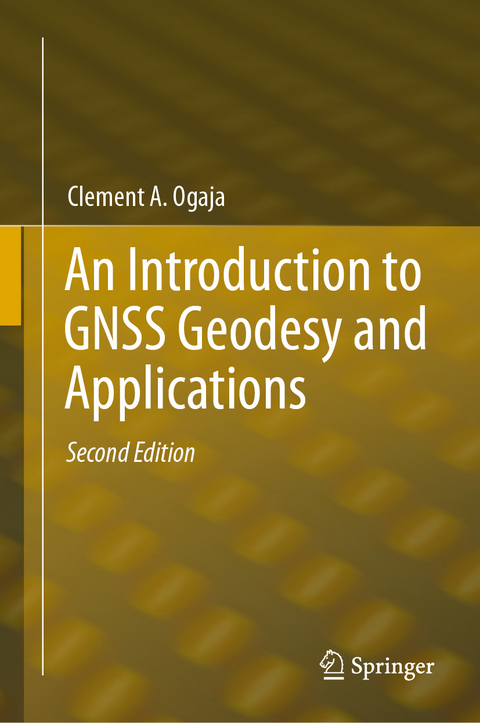
An Introduction to GNSS Geodesy and Applications
Springer International Publishing (Verlag)
978-3-031-74493-8 (ISBN)
- Noch nicht erschienen - erscheint am 20.01.2025
- Versandkostenfrei innerhalb Deutschlands
- Auch auf Rechnung
- Verfügbarkeit in der Filiale vor Ort prüfen
- Artikel merken
This volume is the second edition to 2022's Introduction to GNSS Geodesy: Foundations of Precise Positioning Using Global Navigation Satellite Systems. It serves as an important reference to GNSS beginners as well as seasoned enthusiasts. In this updated edition, author Clement Ogaja focuses on fundamentals and contents that will remain unaffected by rapid changes and data exchange formats, ensuring that the book will remain up to date for years.
The book consists of five chapters. The first covers basic concepts of parameter estimation in GNSS Geodesy. From there, Chapter 2 discusses reference systems in GNSS Geodesy. Chapter 3 moves on to observation models, errors, and biases, and Chapter 4, which is completely new to this second edition, details GNSS data processing workflow and strategies. The book concludes with an applied chapter that details concrete uses of GNSS Geodesy. New appendices that will be especially useful to seasoned users are also featured.
Clement A. Ogaja (born 1972) at the time of writing this book had worked in various roles as a professor, researcher and geodesist in the United States, Australia, and Kenya. He earned a B.Sc. in Surveying from the University of Nairobi in 1997 and a Ph.D. in Geomatics Engineering from UNSW Sydney, Australia, in 2002. In addition to his five books, A Framework in Support of Structural Monitoring by Real Time Kinematic GPS and Multisensor Data (PhD thesis, UNSW Sydney), Geomatics Engineering: A Practical Guide to Project Design (CRC Press), Applied GPS for Engineers and Project Managers (ASCE Press), Introduction to GNSS Geodesy: Foundations of Precise Positioning Using Global Navigation Satellite Systems (Springer), and Project Design for Geomatics Engineers and Surveyors (CRC Press), he is also the author and co-author of several research papers published in international scientific journals and conference proceedings. His extensive experiences in education, research and private industry include having worked for Geoscience Australia, California State University, Topcon Positioning Systems, NOAA's National Geodetic Survey (NGS) and as a land surveyor with Aerophoto Systems Engineering Company in Kenya.Clement A. Ogaja (born 1972) at the time of writing this book had worked in various roles as a professor, researcher and geodesist in the United States, Australia, and Kenya. He earned a B.Sc. in Surveying from the University of Nairobi in 1997 and a Ph.D. in Geomatics Engineering from UNSW Sydney, Australia, in 2002. In addition to his five books, A Framework in Support of Structural Monitoring by Real Time Kinematic GPS and Multisensor Data (PhD thesis, UNSW Sydney), Geomatics Engineering: A Practical Guide to Project Design (CRC Press), Applied GPS for Engineers and Project Managers (ASCE Press), Introduction to GNSS Geodesy: Foundations of Precise Positioning Using Global Navigation Satellite Systems (Springer), and Project Design for Geomatics Engineers and Surveyors (CRC Press), he is also the author and co-author of several research papers published in international scientific journals and conference proceedings. His extensive experiences in education, research and private industry include having worked for Geoscience Australia, California State University, Topcon Positioning Systems, NOAA's National Geodetic Survey (NGS) and as a land surveyor with Aerophoto Systems Engineering Company in Kenya.
Chapter 1: GNSS-Based Parameter Estimation.- Chapter 2: Reference Systems in GNSS Geodesy.- Chapter 3: GNSS Observation Models, Errors, and Biases.- Chapter 4: GNSS Data Processing Workflow and Strategies.- Chapter 5: Applications of GNSS Satellite Geodesy.
| Erscheint lt. Verlag | 20.1.2025 |
|---|---|
| Zusatzinfo | XVI, 172 p. 46 illus., 41 illus. in color. |
| Verlagsort | Cham |
| Sprache | englisch |
| Maße | 155 x 235 mm |
| Themenwelt | Naturwissenschaften ► Geowissenschaften ► Geografie / Kartografie |
| Naturwissenschaften ► Geowissenschaften ► Geologie | |
| Schlagworte | Continuously operating reference stations • Geodesy • Geodetic parameters • Global Navigation Satellite Systems • GNSS data tracking • GNSS software • Remote Sensing/Photogrammetry • Satellite orbit determination • Satellite tracking |
| ISBN-10 | 3-031-74493-4 / 3031744934 |
| ISBN-13 | 978-3-031-74493-8 / 9783031744938 |
| Zustand | Neuware |
| Haben Sie eine Frage zum Produkt? |
aus dem Bereich


