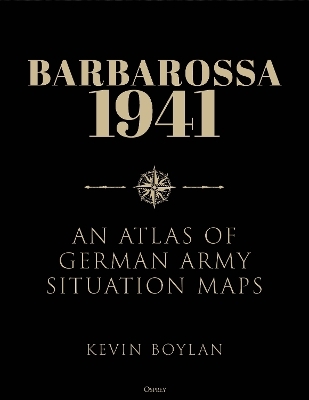
Barbarossa 1941
Osprey Publishing (Verlag)
978-1-4728-4392-0 (ISBN)
Operation Barbarossa, Germany’s surprise assault on the Soviet Union in June 1941, aimed at nothing less than the complete destruction of Communist Russia in a matter of months. It was the one period when the Germans had a chance of achieving victory – but the events of the campaign ultimately reversed the fortunes of the Third Reich.
This atlas uses the contemporary daily situation maps produced by the German Army’s General Staff to provide a clear historical and geographical picture of one of the pivotal campaigns of World War II. These maps show the configuration of the front line and the locations of major Axis combat formations, as well as the deployments and movements of Soviet combat units as the German military intelligence understood them. The maps are supported by a detailed commentary summarizing and analyzing the operations depicted, tracing the day-to-day progress of the fighting on the Eastern Front.
Kevin Boylan earned his BA in History from Rutgers University and his PhD from Temple University. In addition to a long career in academe, he spent 12 years conducting research and analysis for the US Army, the US Department of Defense, and the North Atlantic Treaty Organization (NATO). He was the command historian for the US Army Medical Command / Office of the Surgeon General of the Army during the first six months of the Covid-19 pandemic, and is currently employed as an official historian by the US Army Center for Military History in Washington, DC. He has authored a variety of articles (including two that won the Society for Military History’s prestigious Moncado Prize) and several books – the most recent of which, Valley of the Shadow: The Siege of Dien Bien Phu, was published by Osprey Publishing in 2018.
Introduction
Notes on the Maps
Theatre Overview Maps
Part One: Army Group North
Part Two: Army Group Centre
Part Three: Army Group South
Conclusion
Glossary of Place Names
Select Bibliography
About the Author
Index
| Erscheinungsdatum | 03.09.2024 |
|---|---|
| Zusatzinfo | Illustrationen, Karten |
| Verlagsort | Oxford |
| Sprache | englisch |
| Einbandart | gebunden |
| Themenwelt | Geschichte ► Allgemeine Geschichte ► Neuzeit (bis 1918) |
| Geschichte ► Allgemeine Geschichte ► 1918 bis 1945 | |
| Geisteswissenschaften ► Geschichte ► Hilfswissenschaften | |
| Geisteswissenschaften ► Geschichte ► Regional- / Ländergeschichte | |
| Geschichte ► Teilgebiete der Geschichte ► Militärgeschichte | |
| Naturwissenschaften ► Geowissenschaften ► Geografie / Kartografie | |
| ISBN-10 | 1-4728-4392-4 / 1472843924 |
| ISBN-13 | 978-1-4728-4392-0 / 9781472843920 |
| Zustand | Neuware |
| Haben Sie eine Frage zum Produkt? |
aus dem Bereich


