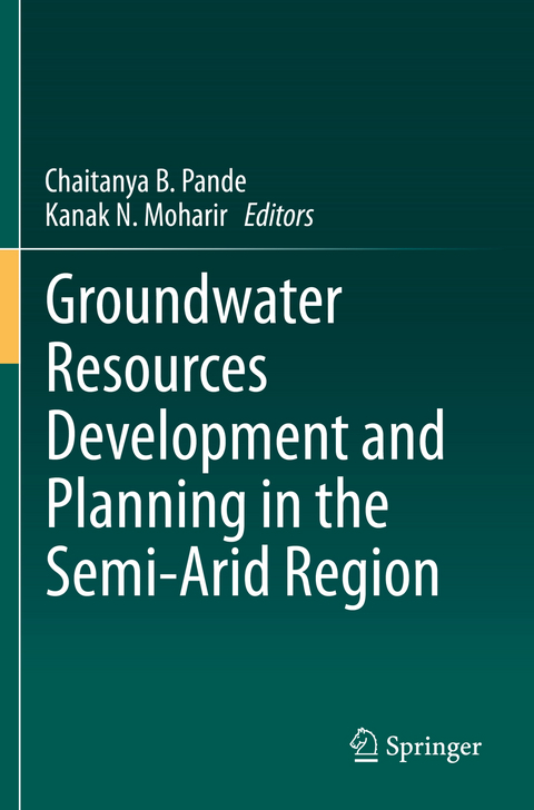
Groundwater Resources Development and Planning in the Semi-Arid Region
Springer International Publishing (Verlag)
978-3-030-68126-5 (ISBN)
lt;p>Dr. Chaitanya B. Pande: (Dr. PDKV,Akola), Ph.D.(Sant Gadge Baba Amravati University, Amravati. he has more than one decade of research and industrial experience. Dr. Pande has reviewers of Earth Science Research Journal, American Journal of Geophysics, Geochemistry, and Geosystems, Sustainable water resource management Springer journal, Modelling Earth system and Environmental Springer journal, Applied Geomatics, Springer journal, Journal of Agriculture Sciences (Bioinfo Publication), Applied Water Science Springer, Journal of the Institution of Engineers (India): series A Springer, Groundwater Sustainable Development Elsevier Journal and Environmental Sustainable Development Springer Journal.
I have published 39 research papers in international journals with springer, Taylor and Francis and Elsevier publication with citations more than 305. I have published presented more than 19 research papers in national and international conferences. My research interest includes Remote Sensing, GIS, Watershed management, Hydrogeology, Hydrological Modeling, Land Use and Land Cover analysis, Groundwater Quality, urban planning, Hydro-geochemistry, Groundwater Modelling, Geology, Hyperspectral Remote Sensing, Remote Sensing and GIS application in natural resources management, watershed management and Environmental Monitoring and assessment subjects.
Dr. Kanak B. Moharir Ph.D.: Dr. Sant Gadge Baba Amravati University, Amravati is a Researcher, Department of Geology, Dr. Amravati University, Akola. With more than 5 years teaching and research experience, she has published more than 35 research papers in various national and international journals and 15 research papers presented in national and international conferences with citations more than 232. Her research interests include remote sensing, watershed management, hydrology, land use and land cover, aquifer mapping, groundwater modeling, hydrogeology, geomorphology and geology. Her is reviewers of eight springer journals and other journals.
Chapter 1-Issues and challenges of groundwater and surface water management in the semi-arid region.- Chapter 2-Aquifer Mapping & Management and Groundwater Flow Modelling.- Chapter 3-Agriculture, Rainwater harvesting sites, and crop suitability analysis using WOA, RS, and GIS methods.- Chapter 4-Hydrogeological systems: drainage analysis, morphometric analysis, watershed prioritization.- Chapter 5-Integrating watershed Planning and Management using Remote Sensing and GIS methods and modeling.- Chapter 6-Assessment of Groundwater Prospects Zones using RS, GIS, and MIF methods.- Chapter 7-Changes in land use and land cover impact on the groundwater recharge planning and water level.- Chapter 8-Assessment of Groundwater quality mapping for groundwater development.- Chapter 9-Groundwater level variation and Trend analysis of groundwater level.- Chapter 10-Identification of Soil Fertility and Gully Erosion mapping.- Chapter 11-Assessment of Groundwater recharge panning using AHP and WOA Techniques.- Chapter 12-Flood Mapping and Impact Analysis using RS, GIS, and GEE Methods.- Chapter 13-Geographic Information Systems (GIS) and Remote Sensing Applications in Water Resources and Irrigation Management.- Chapter 14-Assessment of Evapotranspiration (Et), Rainfall, and Crop Coefficient (Kc) estimation using satellite data.- Chapter 15-Soil Salinity mapping using remote sensing methods.- Chapter 16-Surface runoff modeling for surface and groundwater development and planning.
| Erscheinungsdatum | 31.05.2022 |
|---|---|
| Zusatzinfo | XIV, 571 p. 242 illus., 196 illus. in color. |
| Verlagsort | Cham |
| Sprache | englisch |
| Maße | 155 x 235 mm |
| Gewicht | 988 g |
| Themenwelt | Sachbuch/Ratgeber ► Natur / Technik ► Natur / Ökologie |
| Naturwissenschaften ► Geowissenschaften ► Geografie / Kartografie | |
| Naturwissenschaften ► Geowissenschaften ► Hydrologie / Ozeanografie | |
| Schlagworte | Erosion mapping • GIS/remote sensing • groundwater resources • Hydrogeological systems • sustainable development • Water Management |
| ISBN-10 | 3-030-68126-2 / 3030681262 |
| ISBN-13 | 978-3-030-68126-5 / 9783030681265 |
| Zustand | Neuware |
| Haben Sie eine Frage zum Produkt? |
aus dem Bereich


