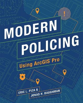
Modern Policing Using ArcGIS Pro
Environmental Systems Research Institute Inc.,U.S. (Verlag)
978-1-58948-597-6 (ISBN)
An essential tool for crime analysts looking to enhance the quality and efficiency of their crime mapping using ArcGIS Pro.
Modern Policing Using ArcGIS Pro is an easy-to-use hands-on guide for crime analysts of any skill level. Crime mapping and spatial analysis play a key role in a variety of day-to-day police functions, and with ArcGIS Pro, crime analysts can enhance the efficiency of their workflow and the quality of their crime-mapping products. Designed to be immediately useful and practical for all users, Modern Policing’s scaffolded approach allows users to incrementally develop their skills.
Real-world case studies from crime analysts and applied research projects demonstrate the spatial analysis techniques necessary to support evidence-based policing. The findings of these case studies are discussed via research and crime analysis highlights, with self-guided exercises that walk the user through the steps of performing the analysis.
Key topics include:
Geoprocessing and filtering data
Identifying hot spots
Using spatial statistics for predictive analysis
Automating tasks
Using ArcGIS Pro for problem analysis, crime analysts can create crime prevention strategies, measure program outputs to gauge program implementation, and conduct evaluations to determine whether crime control strategies are having the desired impact. Covering strategic analysis, predictive analysis, workflow automation and more, Modern Policing Using ArcGIS Pro is essential for crime analysts looking to bring value to their agencies’ operations through crime and data analysis.
Eric L. Piza is Associate Professor at John Jay College of Criminal Justice, City University of New York. His previous professional positions include GIS Specialist of the Newark, NJ Police Department, Research Director for Crime Analytics of the Rutgers Center on Public Security, and Research Program Coordinator of the Rutgers Police Institute. Dr. Piza is currently involved in a number of applied research projects in partnership with public safety agencies across the United States, focusing on the spatial analysis of crime patterns, crime control technology, and the integration of academic research and police practice. His scholarship has been published in more than 50 peer-reviewed journal articles and has been funded by awards from the National Institute of Justice, Bureau of Justice Assistance, Swedish National Council on Crime Prevention, and Charles Koch Foundation. He received his PhD from Rutgers University, School of Criminal Justice. Captain Jonas Baughman is a 17-year veteran of the Kansas City, Missouri Police Department (KCPD). A native of the Kansas City area, Captain Baughman has held assignments in patrol, investigations, crime/intelligence analysis, and administration during his tenure. Captain Baughman quickly found crime analysis to be his professional passion and more than 10 of his 17 years with the KCPD have been in positions related to crime or intelligence analysis. He has served as a sworn crime analyst; helped create the KCPD’s Real-time Crime Center; directed a squad of gang intelligence Detectives; and worked within the Office of the Chief of Police where he provided strategic analysis and other performance metrics to executive command staff to assist the department’s crime-fighting efforts. Captain Baughman is currently assigned to the Fiscal Division within the Executive Services Bureau.
Preface
Acknowledgments
Introduction
Chapter 1. Exploring ArcGIS Pro
Chapter 2. Geoprocessing and Selecting Data
Chapter 3. Creating and Editing Feature Layers
Chapter 4. Maximizing Attribute Tables
Chapter 5. Identifying Crime Hot Spots and Tracking Crime in Target Areas
Chapter 6. Incorporating Time in Spatial Analysis
Chapter 7. Using Spatial Statistics to Identify Spatial Relationships
Chapter 8. Automating Crime Analysis Processes
Chapter 9. Sharing Your Work
| Erscheinungsdatum | 07.07.2021 |
|---|---|
| Zusatzinfo | Illustrations |
| Verlagsort | Redlands |
| Sprache | englisch |
| Maße | 203 x 254 mm |
| Themenwelt | Naturwissenschaften ► Geowissenschaften ► Geografie / Kartografie |
| Recht / Steuern ► EU / Internationales Recht | |
| Recht / Steuern ► Strafrecht ► Kriminologie | |
| ISBN-10 | 1-58948-597-1 / 1589485971 |
| ISBN-13 | 978-1-58948-597-6 / 9781589485976 |
| Zustand | Neuware |
| Haben Sie eine Frage zum Produkt? |
aus dem Bereich


