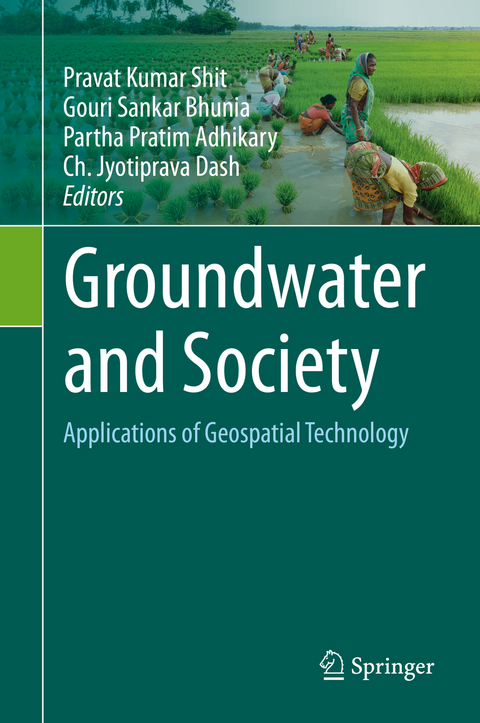
Groundwater and Society
Springer International Publishing (Verlag)
978-3-030-64135-1 (ISBN)
lt;p>Dr. Pravat Kumar Shit is an Assistant Professor at the PG Department of Geography, Raja N. L. Khan Women's College (Autonomous), West Bengal, India. He received his M.Sc & Ph.D. degrees in Geography from Vidyasagar University and PG Diploma in Remote Sensing & GIS from Sambalpur University. His research interests include applied geomorphology, soil erosion, groundwater, forest resources, wetland ecosystem, environmental contaminants & pollution, and natural resources mapping & modeling. He has published eight books (six books in Springer) and more than 60 papers in peer-reviewed journals. He is currently the editor of the GIScience and Geo-environmental Modelling (GGM) Book Series, Springer-Nature.
Dr. Gouri Sankar Bhunia received a Ph.D. from the University of Calcutta, India in 2015. His Ph.D. dissertation work focused on environmental control measures of infectious disease using Geospatial technology. His research interests include environmental modelling, risk assessment, natural resources mapping and modelling, data mining and information retrieval using Geospatial technology. Dr. Bhunia is associate editor and on the editorial boards of three international journal in Health GIS and Geosciences. Dr. Bhunia has published more than 70 articles in various journals indexed in Scopus.
Dr. Partha Pratim Adhikary is a Senior Scientist at ICAR-Indian Institute of Water Management, Bhubaneswar, India. He obtained his Ph.D. in Agricultural Physics from ICAR-Indian Agricultural Research Institute, New Delhi, India. His research interests include solute transport, soil and water conservation and management, pedotransfer functions, and geospatial modeling of natural resources. Dr. Adhikary has published more than 70 research papers in peer reviewed journals and three books. His other publications include book chapters, popular articles, technology brochures, technical bulletins and scientific reports. He is the associate editor of Indian Journal of Soil Conservation. Currently, he is the editor of Springer-Nature book series "GIScience and Geo-environmental Modelling".
Dr. Ch. Jyotiprava Dash is a Scientist at ICAR-Indian Institute of Soil and Water Conservation, Research Centre, Sunabeda, Koraput, Odisha, India. She obtained her Ph.D. in Agricultural Engineering with specialization in Soil and Water Conservation Engineering from ICAR-Indian Agricultural Research Institute, New Delhi, India. She has experience of more than 10 years on research, training and extension in the field of Soil and Water conservation, Watershed Management, Geostatistics, Surface and Groundwater Modeling, Remote Sensing and GIS. Dr. Dash has been bestowed with many awards and fellowships by many professional academic societies and Government bodies for her contributions to science and society. She has published more than 50 research papers in peer reviewed journals and two books.
Chapter 1. Introduction: Groundwater and Society: Applications of Geospatial Technology (Pravat Kumar Shit, Gouri Sankar Bhunia, Partha Pratim Adhikary, Ch. Jyotiprava Dash).- Part I: Groundwater resources and societal development.- Chapter 2. Groundwater and Society in India: Challenging Issues and Adaptive Strategies (Subrata Jana).- Chapter 3. Groundwater Research and Societal Development: Integration with Remote Sensing and Geographical Information System (Gouri Sankar Bhunia, Pravat Kumar Shit, Partha Pratim Adhikary and Debashish Sengupta).- Chapter 4. Geospatial and Geophysical Approaches for Assessment of Groundwater Resources in an Alluvial Aquifer of India (Partha Pratim Adhikary, S.K.Dubey, Debashis Chakraborty, Ch. Jyotiprava Dash).- Chapter 5. Groundwater and Space Technology: Issues and challenges (Gouri Sankar Bhunia, Pravat Kumar Shit, Harsha Das Gupta, Partha Pratim Adhikary).- Part II: Groundwater availability, quality and pollution.- Chapter 6. GroundwaterQuality through Multi-criteria based GIS Analysis: Village Level Assessment (Baisakhi Chakraborty, Sambhunath Roy, Gouri Sankar Bhunia, Debashish Sengupta, Pravat Kumar Shit).- Chapter 7. GIS-based Fuzzy-AHP Approach for Assessment of Groundwater Potential Zones of an Urban Agglomeration (Suraj Kumar Mallick, Somnath Rudra).- Chapter 8. Assessment of Groundwater Availability in Gumani River Basin, India using Geoinformatics and Analytical Hierarchy Process (Sadik Mahammad, Aznarul Islam).- Chapter 9. Application of AHP for Groundwater Potential Zones Mapping in Plateau Fringe Terrain: Study from Western Province of West Bengal (Manas Karmakar, Monali Banerjee, Mrinal Mandal, Debasis Ghosh).- Chapter 10. Performance of Frequency Ratio Approach for Mapping of Groundwater Prospect Areas in an Area of Mixed Topography (Subhas Garai, Pulakesh Das).- Chapter 11. Artificial Neural Network for Identification of Groundwater Potential Zones in part of Hugli District, West Bengal, India (Chalantika Laha Salui and Shashank Yadav).- Chapter 12. Multi-criteria Analysis for Groundwater Quality Assessment: A Study in Paschim Barddhaman District of West Bengal, India (Payel Das, Niladri Das).- Chapter 13. Performance of WQI and HPI for Groundwater Quality Assessment: Study from Sangramgarh Colliery of West Burdwan District, West Bengal, India (Tanushree Paul, Manas Nath).- Chapter 14. Assessment of Groundwater Quality interaction using One-decade Data: Case Study from a Hard Rock Area (S. Satheeshkumar, S. Venkateswaran, T. Maheshwari).- Chapter 15. Fluoride Dynamics in Precambrian Hard Rock Terrain of North Singbhum Craton and Effect of Fluorosis on Human Health and Society (Biswajit Bera, Sumana Bhattacharjee, Meelan Chamling, Arijit Ghosh, Nairita Sengupta, Supriya Ghosh).- Chapter 16. Coastal Aquifer Vulnerability for Saltwater Intrusion: A Case Study of Chennai Coast Using GALDIT Model and Geoinformatics (Debabrata Ghorai, Gouri Sankar Bhunia, Pravat Kumar Shit).- Part III: Sustainable Groundwater resources management.- Chapter 17. Watershed Development Impact on Natural Resources: Groundwater and Surface Water Utilization (Partha Pratim Adhikary, M. Madhu, P. Jakhar, B.S. Naik, H.C. Hombegowda, D. Barman, G.B. Naik, Ch. J. Dash).- Chapter 18. Long-term Groundwater Behaviour over an Agriculturally Developed State of North-West India: Trend and Impact on Agriculture (Omvir Singh, Amrita Kasana, Pankaj Bhardwaj).- Chapter 19. Spatial Appraisals of Groundwater Recharge Potential Zone Identification using Remote Sensing and GIS (Gouri Sankar Bhunia, Pranab Kumar Maity, Pravat Kumar Shit).- Chapter 20. Spatial Mapping of Groundwater Depth to Prioritize the Areas under Water Stress in Rayalaseema Region of Andhra Pradesh, India (Ch. Jyotiprava Dash, PP Adhikary, Uday Mandal).- Chapter 21. Exploring Vulnerability of Groundwater using AHP and GIS Techniques: A Study in Cooch Behar District, West Bengal, India (Dipankar Saha, Debasish Talukdar, Ujjal Senapati, TapanKumar Das).- Chapter 22. Applicability of Geospatial Technology, Weight of Evidence and Multilayer Perceptron for Groundwater Management: A Geoscientific Study on Birbhum District, West Bengal, India (Niladri Das, Subhasish Sutradhar, Ranajit Ghosh, Prolay Mondal).- Chapter 23. Water resources management in semi-arid Purulia District of West Bengal, in the context of sustainable development goals (Amit Bera, Shubhamita Das).
| Erscheinungsdatum | 09.04.2021 |
|---|---|
| Zusatzinfo | XVI, 534 p. 215 illus., 199 illus. in color. |
| Verlagsort | Cham |
| Sprache | englisch |
| Maße | 155 x 235 mm |
| Gewicht | 986 g |
| Themenwelt | Naturwissenschaften ► Geowissenschaften ► Hydrologie / Ozeanografie |
| Schlagworte | Geospatial Applications • GIS • groundwater • natural resource management • Pollution assessment • Precision Agriculture • Remote Sensing • sustainability |
| ISBN-10 | 3-030-64135-X / 303064135X |
| ISBN-13 | 978-3-030-64135-1 / 9783030641351 |
| Zustand | Neuware |
| Haben Sie eine Frage zum Produkt? |
aus dem Bereich


