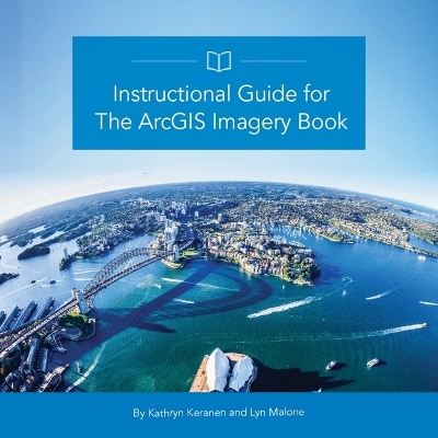
Instructional Guide for the ArcGIS Book
Seiten
2017
Environmental Systems Research Institute Inc.,U.S. (Verlag)
978-1-58948-506-8 (ISBN)
Environmental Systems Research Institute Inc.,U.S. (Verlag)
978-1-58948-506-8 (ISBN)
- Titel ist leider vergriffen;
keine Neuauflage - Artikel merken
Using real data and real-world problems and events, the lessons in this guide provide both teachers and students with a fresh approach to imagery and remote sensing in GIS, one that allows learners to take their enthusiasm and run with it.
This companion textbook to The ArcGIS Imagery Book: New View. New Vision. (Esri Press, 2016) builds on the foundational concepts laid out in The ArcGIS Imagery Book. Whether you are a self-learner, currently teaching, or are planning to teach GIS, this guide provides the materials to develop and apply ArcGIS Imagery tools and concepts. Using The ArcGIS Imagery Book's structure as a starting point, each chapter provides students and teachers with activities, resources, lessons and data that reflect the interaction between components of ArcGIS Online, as well as GIS applications for publishing to the web and mobile devices. A combination of scenario driven and skill-based lessons (including many that don't require downloading any software), not only offer practice in the use of these tools but also inspire a deeper understanding of the potential and power of Web GIS. Includes downloadable instructor resources.
This companion textbook to The ArcGIS Imagery Book: New View. New Vision. (Esri Press, 2016) builds on the foundational concepts laid out in The ArcGIS Imagery Book. Whether you are a self-learner, currently teaching, or are planning to teach GIS, this guide provides the materials to develop and apply ArcGIS Imagery tools and concepts. Using The ArcGIS Imagery Book's structure as a starting point, each chapter provides students and teachers with activities, resources, lessons and data that reflect the interaction between components of ArcGIS Online, as well as GIS applications for publishing to the web and mobile devices. A combination of scenario driven and skill-based lessons (including many that don't require downloading any software), not only offer practice in the use of these tools but also inspire a deeper understanding of the potential and power of Web GIS. Includes downloadable instructor resources.
Kathryn Keranen, an instructor at James Madison University, has taught GIS and helped others learn to teach it for more than 20 years. She co-authored (with Robert Kolvoord) the three-book Esri Press series: Making Spatial Decisions Using GIS (2008, 2012); Making Spatial Decisions Using GIS and Remote Sensing, (2014); and Making Spatial Decisions Using GIS and Lidar (2016). Lyn Malone, a curriculum and educational technology consultant with her own company, World Views GIS, has taught GIS to students and teachers since 1998. She co-authored for Esri Press Mapping Our World: GIS Lessons for Educators (2002); Community Geography GIS in Action Teacher's Guide (2003); and Mapping Our World Using GIS: Our World GIS Education Level 2 (2008).
| Erscheint lt. Verlag | 30.10.2017 |
|---|---|
| Reihe/Serie | Arcgis Book ; 4 |
| Zusatzinfo | 615 Illustrations, color |
| Verlagsort | Redlands |
| Sprache | englisch |
| Themenwelt | Mathematik / Informatik ► Informatik ► Netzwerke |
| Informatik ► Office Programme ► Outlook | |
| Mathematik / Informatik ► Informatik ► Web / Internet | |
| Naturwissenschaften ► Geowissenschaften ► Geografie / Kartografie | |
| ISBN-10 | 1-58948-506-8 / 1589485068 |
| ISBN-13 | 978-1-58948-506-8 / 9781589485068 |
| Zustand | Neuware |
| Haben Sie eine Frage zum Produkt? |
Mehr entdecken
aus dem Bereich
aus dem Bereich
Buch | Softcover (2022)
Markt + Technik Verlag
14,95 €


