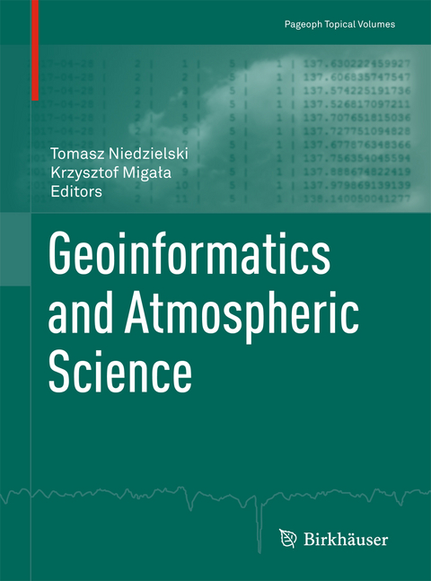
Geoinformatics and Atmospheric Science
Springer International Publishing (Verlag)
978-3-319-66091-2 (ISBN)
Biweekly Sea Surface Temperature over the South China Sea and its association with the Western North Pacific Summer Monsoon.- North Equatorial Indian Ocean Convection and Indian Summer Monsoon June Progression: a Case Study of 2013 and 2014.- Sensitivity Study of Cloud Cover and Ozone Modeling to Microphysics Parameterization.- High-Resolution Dynamical Downscaling of ERA-Interim Using the WRF Regional Climate Model for the Area of Poland. Part 1: Model Configuration and Statistical Evaluation for the 1981-2010 Period.- High-Resolution Dynamical Downscaling of ERA-Interim Using the WRF Regional Climate Model for the Area of Poland. Part 2: Model Performance with Respect to Automatically Derived Circulation Types.- Aerosol-Radiation Feedback and PM10 Air Concentrations Over Poland.- The Relevance of Surface Roughness Data Qualities in Diagnostic Modeling of Wind Velocity in Complex Terrain: A Case Study from the Snieznik Massif (SW Poland).- The Role of Auxiliary Variables in Deterministic and Deterministic-Stochastic Spatial Models of Air Temperature in Poland.- Spatial Interpolation of Ewert's Index of Continentality in Poland.- Geospatial Predictive Modelling for Climate Mapping of Selected Severe Weather Phenomena Over Poland: A Methodological Approach.- Geocomputation and Spatial Modelling for Geographical Drought Risk Assessment: A Case Study of the Hustopece Area, Czech Republic.- The Use of Geospatial Technologies in Flood Hazard Mapping and Assessment: Case Study from River Evros.- Regional L-Moment-Based Flood Frequency Analysis in the Upper Vistula River Basin, Poland.- GNSS Vertical Coordinate Time Series Analysis Using Single-Channel Independent Component Analysis Method.
| Erscheinungsdatum | 29.09.2017 |
|---|---|
| Reihe/Serie | Pageoph Topical Volumes |
| Zusatzinfo | X, 274 p. 136 illus., 106 illus. in color. |
| Verlagsort | Cham |
| Sprache | englisch |
| Maße | 193 x 260 mm |
| Gewicht | 717 g |
| Themenwelt | Naturwissenschaften ► Geowissenschaften ► Geologie |
| Naturwissenschaften ► Geowissenschaften ► Geophysik | |
| Schlagworte | atmospheric processes • atmospheric sciences • Earth and Environmental Science • earth sciences • Geologie • Geophysics • Geophysics/Geodesy • Geospatial Technologies • numerical modeling • spatial scales |
| ISBN-10 | 3-319-66091-8 / 3319660918 |
| ISBN-13 | 978-3-319-66091-2 / 9783319660912 |
| Zustand | Neuware |
| Haben Sie eine Frage zum Produkt? |
aus dem Bereich


