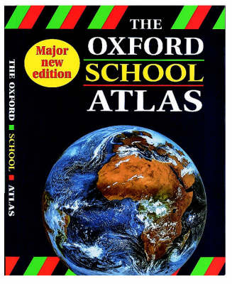
The Oxford School Atlas
Seiten
1997
|
3rd Revised edition
Oxford University Press (Verlag)
978-0-19-831837-8 (ISBN)
Oxford University Press (Verlag)
978-0-19-831837-8 (ISBN)
- Titel ist leider vergriffen;
keine Neuauflage - Artikel merken
This title provides coverage of the United Kingdom with over 40 pages of up-to-date topographic mapping, plus coverage of the rest of the world. A range of thematic maps includes environmental issues, economic development, and interdependence. A statistical section provides raw data for use alongside maps; and much more.
| Erscheint lt. Verlag | 17.4.1997 |
|---|---|
| Zusatzinfo | full colour maps throughout |
| Verlagsort | Oxford |
| Sprache | englisch |
| Maße | 225 x 290 mm |
| Gewicht | 760 g |
| Themenwelt | Reisen ► Karten / Stadtpläne / Atlanten ► Welt / Arktis / Antarktis |
| Schulbuch / Wörterbuch | |
| Naturwissenschaften ► Geowissenschaften ► Geografie / Kartografie | |
| ISBN-10 | 0-19-831837-5 / 0198318375 |
| ISBN-13 | 978-0-19-831837-8 / 9780198318378 |
| Zustand | Neuware |
| Haben Sie eine Frage zum Produkt? |
Mehr entdecken
aus dem Bereich
aus dem Bereich


