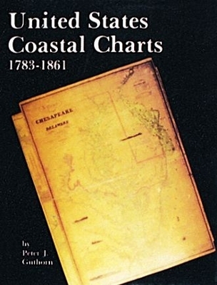
United States Coastal Charts, 1738-1861
Seiten
1997
Schiffer Publishing Ltd (Verlag)
978-0-88740-019-3 (ISBN)
Schiffer Publishing Ltd (Verlag)
978-0-88740-019-3 (ISBN)
The years between the end of the American Revolution and the beginning of the Civil War were crucial ones in the history of American coastal charting. At the beginning, foreign charts, principally British, were available; and a few of American origin. The latter were largely copies of British charts, and a few were compiled by local shipmasters and pilots. The more successful publishers were able to compile hydrographic data using their own resources, and added corrections in new editions of their charts.
A "survey of the coast" was initiated by Congress in 1807 under Thomas Jefferson's administration. Delays due to the War of 1812 and political disagreements slowed progress and the production of the first important chart, that of New York harbour, was not published until 1843. Private publishers filled an important void between the time the Coast Survey was initiated and the time they produced usable charts. Data on the private publishers has been collected for publication here for the first time. Nevertheless, the survey was to increase the availability of charts which were accurate within the framework of hydrographic knowledge at the time. The Coast Survey succeeded in charting the entire coastline by the beginning of the Civil War.
This volume is the first definitive study of these charts.
| Erscheint lt. Verlag | 7.1.1999 |
|---|---|
| Zusatzinfo | 140 charts |
| Verlagsort | Atglen |
| Sprache | englisch |
| Maße | 229 x 305 mm |
| Gewicht | 1678 g |
| Themenwelt | Kunst / Musik / Theater ► Antiquitäten |
| Sachbuch/Ratgeber | |
| Reisen ► Karten / Stadtpläne / Atlanten ► Nord- / Mittelamerika | |
| ISBN-10 | 0-88740-019-1 / 0887400191 |
| ISBN-13 | 978-0-88740-019-3 / 9780887400193 |
| Zustand | Neuware |
| Haben Sie eine Frage zum Produkt? |
Mehr entdecken
aus dem Bereich
aus dem Bereich

