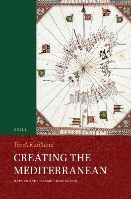
Creating the Mediterranean
Maps and the Islamic Imagination
Seiten
2024
Brill (Verlag)
978-90-04-69598-6 (ISBN)
Brill (Verlag)
978-90-04-69598-6 (ISBN)
In Creating the Mediterranean: Maps and the Islamic Imagination Tarek Kahlaoui treats the subject of the Islamic visual representations of the Mediterranean from the tenth to the sixteenth centuries C.E.
In Creating the Mediterranean: Maps and the Islamic Imagination Tarek Kahlaoui treats the subject of the Islamic visual representations of the Mediterranean. It tracks the history of the Islamic visualization of the sea from when geography was created by the Islamic state’s bureaucrats of the tenth century C.E. located mainly in the central Islamic lands, to the later men of the field, specifically the sea captains from the fourteenth to the sixteenth centuries C.E. located in the western Islamic lands.
A narrative has emerged from this investigation in which the metamorphosis of the identity of the author or mapmaker seemed to be changing with the rest of the elements that constitute the identity of a map: its reader or viewer, its style and structure, and its textual content.
Tarek Kahlaoui, Ph.D. (2008), is Associate Professor of History at the Mediterranean School of Business. He is working on projects concerning the history and archaeology of the Maghrib and the Mediterranean and has published numerous articles on the topic.
| Erscheinungsdatum | 05.04.2024 |
|---|---|
| Verlagsort | Leiden |
| Sprache | englisch |
| Maße | 155 x 235 mm |
| Gewicht | 1 g |
| Themenwelt | Reisen ► Karten / Stadtpläne / Atlanten |
| Geisteswissenschaften ► Religion / Theologie ► Islam | |
| Naturwissenschaften ► Geowissenschaften ► Geografie / Kartografie | |
| ISBN-10 | 90-04-69598-2 / 9004695982 |
| ISBN-13 | 978-90-04-69598-6 / 9789004695986 |
| Zustand | Neuware |
| Informationen gemäß Produktsicherheitsverordnung (GPSR) | |
| Haben Sie eine Frage zum Produkt? |
Mehr entdecken
aus dem Bereich
aus dem Bereich


