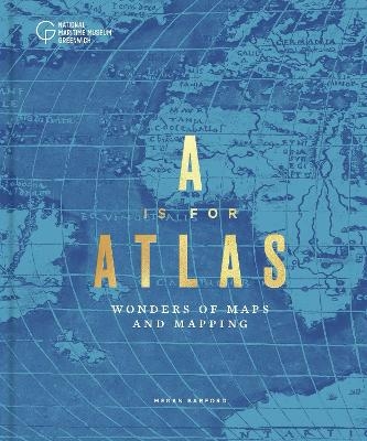
A is for Atlas
Wonders of Maps and Mapping
Seiten
2022
National Maritime Museum (Verlag)
978-1-906367-93-0 (ISBN)
National Maritime Museum (Verlag)
978-1-906367-93-0 (ISBN)
A sumptuous, lavishly illustrated celebration of cartography, including maps, charts, atlases and globes.
A is for Atlas: Wonders of Maps and Mapping is a fascinating exploration of maps, charts, atlases and globes. Through a series of unique themes, this book reveals stories about objects produced centuries apart, showing the very different worlds in which
maps were produced and consumed. From sumptuous globes designed for display to sketches drawn on scrap paper, from tales of buried treasure to cutting political satire and from imperial mapping to twenty-first-century projects that challenge contemporary border policies, each object in this lavishly illustrated volume is valuable for what it reveals about the hands that made it and the society that shaped it.
Dr Megan Barford is Curator of Cartography at Royal Museums Greenwich. Their research has focused on nineteenth-century British Admiralty charts, charting and navigation, and twentieth-century map collecting. In 2017 they received an Art Fund New Collecting Award to build a collection of contemporary cartography concerned with forced migration. They love talking with people about maps and different ways of reading them, but despite their extensive navigational knowledge they have only ever navigated a boat while working on the Rochdale Canal!
| Erscheinungsdatum | 17.08.2022 |
|---|---|
| Zusatzinfo | Approx. 190 colour images |
| Sprache | englisch |
| Maße | 225 x 250 mm |
| Themenwelt | Geisteswissenschaften ► Geschichte ► Hilfswissenschaften |
| Naturwissenschaften ► Geowissenschaften ► Geografie / Kartografie | |
| ISBN-10 | 1-906367-93-0 / 1906367930 |
| ISBN-13 | 978-1-906367-93-0 / 9781906367930 |
| Zustand | Neuware |
| Haben Sie eine Frage zum Produkt? |
Mehr entdecken
aus dem Bereich
aus dem Bereich
Anforderungen an das digitalisierte Kulturerbe
Buch | Softcover (2023)
transcript (Verlag)
29,00 €
innovative Wege der Konzeption und Evaluation von Ausstellungen
Buch | Softcover (2024)
transcript (Verlag)
37,00 €


