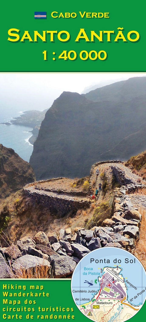
Cabo Verde: Santo Antão (Antao) 1:40000
Wanderkarte
Seiten
2017
|
2. Auflage 2017
AB Kartenverlag
978-3-934262-23-2 (ISBN)
AB Kartenverlag
978-3-934262-23-2 (ISBN)
- Titel erscheint in neuer Auflage
- Artikel merken
Zu diesem Artikel existiert eine Nachauflage
Hiking map scale of 1: 40000 for the Cape Verdean island of Santo Antao, printed on two sides on plastic reinforced paper.
The island of Santo Antão offers a scenic spectacular but challenging hiking area. The map is useful for orientation and offers a choice of 60 routes with classifications. Carte de randonnée échelle de 1: 40000 pour l'île cap-verdienne de Santo Antao, imprimé sur deux côtés sur papier renforcé du plastique.
L'île de Santo Antão offre une zone de randonnée spectaculaire mais difficile. La carte est utile pour l'orientation et offre un choix de 60 itinéraires avec classifications. Wanderkarte im Maßstab 1:40000 für die Kapverdische Insel Santo Antão auf zwei Seiten, gedruckt auf kunststoffverstärktem Papier.
Die Insel Santo Antão bietet ein landschaftlich spektakuläres aber auch sehr anspruchsvolle Wandergebiet. Die Karte ist hilfreich bei der Orientierung und bietet eine Auswahl von über 60 Routen mit Klassifizierungen.
In Cabo Verde seit 1981 als Arzt, Berater und Wissenschaftler
| Erscheint lt. Verlag | 6.9.2017 |
|---|---|
| Mitarbeit |
Karten von: Pitt Reitmaier |
| Zusatzinfo | Titelbild |
| Verlagsort | Karlsruhe |
| Sprache | englisch; französisch; deutsch; portugiesisch |
| Maße | 105 x 230 mm |
| Gewicht | 70 g |
| Einbandart | gefalzt |
| Themenwelt | Sachbuch/Ratgeber ► Sport |
| Reisen ► Karten / Stadtpläne / Atlanten ► Afrika | |
| Schlagworte | Cabo Verde • Cape Verde • Cap-Vert • Kap Verde • Kapverden • Kapverdische Inseln • Karte • Landkarte • Wanderkarte • Wandern |
| ISBN-10 | 3-934262-23-6 / 3934262236 |
| ISBN-13 | 978-3-934262-23-2 / 9783934262232 |
| Zustand | Neuware |
| Haben Sie eine Frage zum Produkt? |
Mehr entdecken
aus dem Bereich
aus dem Bereich
Karte (gefalzt) (2024)
Freytag-Berndt und ARTARIA (Verlag)
12,90 €
Karte (gefalzt) (2023)
Freytag-Berndt und ARTARIA (Verlag)
12,90 €
reiß- und wasserfest (world mapping project)
Karte (gefalzt) (2024)
Reise Know-How (Verlag)
14,00 €


