Europe
2008
Globetrotter Travel Guides (Verlag)
978-1-84773-240-8 (ISBN)
Globetrotter Travel Guides (Verlag)
978-1-84773-240-8 (ISBN)
- Titel z.Zt. nicht lieferbar
- Versandkostenfrei innerhalb Deutschlands
- Auch auf Rechnung
- Verfügbarkeit in der Filiale vor Ort prüfen
- Artikel merken
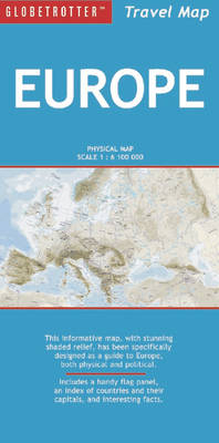
Designed as guides to both the physical and the political continent, this map features a large-scale physical projection of Europe and a political map complete with statistics. It is useful for home, school and office use. It contains an index of countries and their capitals, a handy flag panel and country facts.
The highly successful "Globetrotter Travel Series", which includes Travel Guides, Travel Maps, Road Atlases, Best Of Pocket Guides and In Your Pocket Language Guides, presently covers more than 90 destinations worldwide. The Packs are excellent value, including both a guidebook and a softcover version of the fold-out Globetrotter map of the region, in a printed plastic wallet."The Globetrotter Travel Map of Europe" has been specifically designed as guides to both the physical and the political continent. This informative map, with stunning shaded relief, features a large-scale physical projection of the continent and a detailed political map complete with up-to-date statistics. The maps are ideal for home, school and office use, and contain an index of countries and their capitals, a handy flag panel and interesting country facts.
The highly successful "Globetrotter Travel Series", which includes Travel Guides, Travel Maps, Road Atlases, Best Of Pocket Guides and In Your Pocket Language Guides, presently covers more than 90 destinations worldwide. The Packs are excellent value, including both a guidebook and a softcover version of the fold-out Globetrotter map of the region, in a printed plastic wallet."The Globetrotter Travel Map of Europe" has been specifically designed as guides to both the physical and the political continent. This informative map, with stunning shaded relief, features a large-scale physical projection of the continent and a detailed political map complete with up-to-date statistics. The maps are ideal for home, school and office use, and contain an index of countries and their capitals, a handy flag panel and interesting country facts.
| Erscheint lt. Verlag | 21.8.2008 |
|---|---|
| Reihe/Serie | Globetrotter Travel Map |
| Zusatzinfo | 1 political map, 1 physical map |
| Sprache | englisch |
| Maße | 125 x 250 mm |
| Themenwelt | Reisen ► Karten / Stadtpläne / Atlanten ► Europa |
| ISBN-10 | 1-84773-240-2 / 1847732402 |
| ISBN-13 | 978-1-84773-240-8 / 9781847732408 |
| Zustand | Neuware |
| Haben Sie eine Frage zum Produkt? |
Mehr entdecken
aus dem Bereich
aus dem Bereich
Straßen- und Freizeitkarte 1:250.000
Karte (gefalzt) (2023)
Freytag-Berndt und ARTARIA (Verlag)
12,90 €
Karte (gefalzt) (2023)
Freytag-Berndt und ARTARIA (Verlag)
12,90 €
Östersund
Karte (gefalzt) (2023)
Freytag-Berndt und ARTARIA (Verlag)
12,90 €


