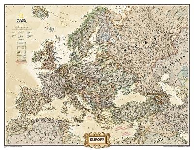
Europe Executive, Enlarged &, Laminated
Wall Maps Continents
Seiten
2012
|
2018th ed.
National Geographic Maps (Verlag)
978-0-7922-8987-6 (ISBN)
National Geographic Maps (Verlag)
978-0-7922-8987-6 (ISBN)
The National Geographic Europe Executive Wall Map is perfect for anyone who wants to gain a better understanding of the vastly varied continent of Europe. The continent is laid out in an antique-style colour palette for a more upscale feel, with rich detail with hundreds of place names and borders drawn with utmost accuracy. Enlarged size. Scale: 1:5,419,000. Laminated. 117 x 91.4 cm.
| Erscheint lt. Verlag | 2.8.2012 |
|---|---|
| Verlagsort | Evergreen |
| Sprache | englisch |
| Maße | 56 x 1270 mm |
| Gewicht | 340 g |
| Themenwelt | Reisen ► Karten / Stadtpläne / Atlanten ► Europa |
| Reisen ► Karten / Stadtpläne / Atlanten ► Welt / Arktis / Antarktis | |
| ISBN-10 | 0-7922-8987-0 / 0792289870 |
| ISBN-13 | 978-0-7922-8987-6 / 9780792289876 |
| Zustand | Neuware |
| Haben Sie eine Frage zum Produkt? |
Mehr entdecken
aus dem Bereich
aus dem Bereich
Karte (gefalzt) (2023)
Freytag-Berndt und ARTARIA (Verlag)
12,90 €
Straßen- und Freizeitkarte 1:250.000
Karte (gefalzt) (2023)
Freytag-Berndt und ARTARIA (Verlag)
12,90 €
Östersund
Karte (gefalzt) (2023)
Freytag-Berndt und ARTARIA (Verlag)
12,90 €


