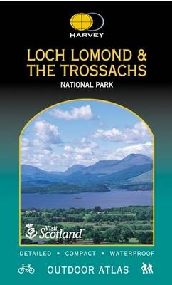
Loch Lomond and Trossachs National Park
Seiten
2005
Harvey Map Services Ltd (Verlag)
978-1-85137-441-0 (ISBN)
Harvey Map Services Ltd (Verlag)
978-1-85137-441-0 (ISBN)
- Titel nicht im Sortiment
- Artikel merken
Handy book printed on waterproof paper, cover also waterproof, spiral bound to lie flat in your hand. Large area (National Park) in one volume. Ideal for walking, cycling and planning. All the detail needed for sure navigation. Public footpaths and bridleways shown. Can be used with GPS. Useful information and important telephone numbers included. Layer colouring for easy identification of hills and valleys.
| Erscheint lt. Verlag | 24.3.2005 |
|---|---|
| Reihe/Serie | Outdoor Atlas S. |
| Zusatzinfo | 102 maps |
| Verlagsort | Perthshire |
| Sprache | englisch |
| Maße | 420 x 145 mm |
| Themenwelt | Reiseführer ► Europa ► Großbritannien |
| Reiseführer ► Europa ► Schottland | |
| ISBN-10 | 1-85137-441-8 / 1851374418 |
| ISBN-13 | 978-1-85137-441-0 / 9781851374410 |
| Zustand | Neuware |
| Haben Sie eine Frage zum Produkt? |
Mehr entdecken
aus dem Bereich
aus dem Bereich
individuell reisen mit vielen praktischen Tipps
Buch | Softcover (2024)
Michael Müller (Verlag)
29,90 €
Reiseführer mit Stadtplan, 4 Spaziergängen und kostenloser Web-App
Buch | Softcover (2023)
Reise Know-How (Verlag)
15,95 €


