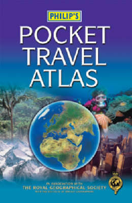
Philip's Pocket Travel Atlas
Seiten
2003
Philip's (Verlag)
978-0-540-08091-5 (ISBN)
Philip's (Verlag)
978-0-540-08091-5 (ISBN)
- Titel erscheint in neuer Auflage
- Artikel merken
Zu diesem Artikel existiert eine Nachauflage
This atlas has been specially created from the latest digital cartography. The physically coloured maps clearly show towns and cities, as well as major transport routes and administrative boundaries. It also contains a world gazetteer for 60 countries and a selection of 20 city plans.
This atlas has been specially created from the latest digital cartography. The physically coloured maps clearly show towns and cities, as well as major transport routes and administrative boundaries. At the beginning of the atlas is an informative 64-page travel section, including maps of time zones, major world air routes and climate, plus a world gazetteer for 60 notable countries. It offers key information for travellers on specific entry requirements, currencies, languages, medical advice and international telephone dialling codes. A selection of 20 city plans completes the travel section, arranged in alphabetical order for ease of reference. At the end of the atlas, the 64-page letter-figure index lists all major towns and cities, plus numerous geographical features such as rivers, lakes and mountains. The slim format makes it easy to carry for travellers on the move.
This atlas has been specially created from the latest digital cartography. The physically coloured maps clearly show towns and cities, as well as major transport routes and administrative boundaries. At the beginning of the atlas is an informative 64-page travel section, including maps of time zones, major world air routes and climate, plus a world gazetteer for 60 notable countries. It offers key information for travellers on specific entry requirements, currencies, languages, medical advice and international telephone dialling codes. A selection of 20 city plans completes the travel section, arranged in alphabetical order for ease of reference. At the end of the atlas, the 64-page letter-figure index lists all major towns and cities, plus numerous geographical features such as rivers, lakes and mountains. The slim format makes it easy to carry for travellers on the move.
| Erscheint lt. Verlag | 19.5.2003 |
|---|---|
| Zusatzinfo | 64ill.96col.M. |
| Verlagsort | London |
| Sprache | englisch |
| Maße | 119 x 186 mm |
| Gewicht | 375 g |
| Themenwelt | Reisen ► Karten / Stadtpläne / Atlanten ► Welt / Arktis / Antarktis |
| ISBN-10 | 0-540-08091-8 / 0540080918 |
| ISBN-13 | 978-0-540-08091-5 / 9780540080915 |
| Zustand | Neuware |
| Haben Sie eine Frage zum Produkt? |
Mehr entdecken
aus dem Bereich
aus dem Bereich
mit Fakten und Infos zu allen Kontinenten
Buch | Hardcover (2024)
Kosmos Kartografie in der Franckh-Kosmos Verlags-GmbH & Co. …
24,00 €


