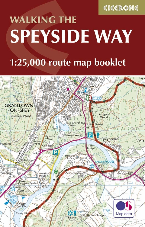
The Speyside Way Map Booklet
1:25,000 OS Route Mapping
Seiten
2016
Cicerone Press (Verlag)
978-1-85284-938-2 (ISBN)
Cicerone Press (Verlag)
978-1-85284-938-2 (ISBN)
- Titel ist leider vergriffen;
keine Neuauflage - Artikel merken
Map of Scotland's Speyside Way, a 66 mile walk which follows the River Spey from Aviemore to Buckie. This booklet is included with the Cicerone guidebook to the trail, and shows the full route on Ordnance Survey 1:25,000 maps.
All the mapping you need to complete Scotland's 66-mile (106km) Speyside Way, an official Scottish Long Distance Route which follows the River Spey through northern Scotland from Aviemore to the old port of Buckie on the Moray coast. As well as beautiful scenery, the Spey is famed for its salmon and its distilleries. The route features easy walking on good paths and along disused railway lines and can be comfortably completed in a week.
This booklet of Ordnance Survey 1:25,000 Explorer maps has been designed for convenient use on the trail and can be used when walking the route in either direction. It shows the line of the Speyside Way along with the relevant extract from the OS Explorer map legend. It is conveniently sized for slipping into a jacket pocket or top of a rucksack.
NOTE An accompanying Cicerone guidebook - The Speyside Way / ISBN 9781852848682 - describes the full route from Aviemore to Buckie with lots of other practical and background information, for those preferring a written guide. The accompanying guidebook INCLUDES a copy of this map booklet.
Alan Castle has trekked and cycled in over 30 countries within Europe, Asia, North and South America, Africa and Australasia. A member of the Outdoor Writers and Photographers Guild, he has written 18 guidebooks, several on long-distance mountain routes in France. An erstwhile national secretary and long-distance path information officer of the Long Distance Walkers Association, Alan now lives at the foot of the Moffat Hills in Scotland.
| Erscheinungsdatum | 16.12.2016 |
|---|---|
| Reihe/Serie | Cicerone guidebooks |
| Verlagsort | Kendal |
| Sprache | englisch |
| Maße | 106 x 166 mm |
| Gewicht | 70 g |
| Themenwelt | Sachbuch/Ratgeber ► Sport |
| Reisen ► Karten / Stadtpläne / Atlanten ► Europa | |
| Reiseführer ► Europa ► Schottland | |
| Reisen ► Sport- / Aktivreisen | |
| ISBN-10 | 1-85284-938-X / 185284938X |
| ISBN-13 | 978-1-85284-938-2 / 9781852849382 |
| Zustand | Neuware |
| Haben Sie eine Frage zum Produkt? |

