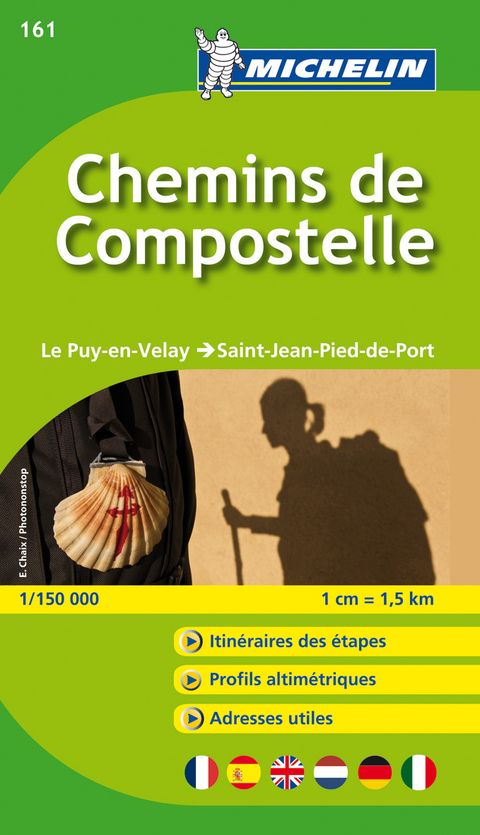
Le chemin de Compostelle - Zoom Map 161
Map
Seiten
2017
|
3rd edition
Michelin Editions des Voyages (Verlag)
978-2-06-717401-6 (ISBN)
Michelin Editions des Voyages (Verlag)
978-2-06-717401-6 (ISBN)
Michelin's Zoom collection are characterized by the high precision of their detailed scale, specially adapted for very touristy areas or with a high density road network, including new developments and industrial areas. Scales from 1:53,000 to 1:1,267,200
(Edition updated in 2016) MICHELIN zoom map Chemins de Compostelle is the ideal travel companion to fully explore this world famous pilgrimage, thanks to its easy-to-use booklet format and its scale of 1/150,000.
Campos de Compostela Booklet - Covers the route from Le Puy en Velay to Saint Jean Pied de Port: The Michelin booklet Chemin de Compostela / Le Puy-en-Velay in Saint-Jean Pied de Port is an indispensable tool for all walkers on the way to Saint Jacques . From Puy en Velay to Saint Jean Pied de Port, the more than 730 km of the course are cut into stages from 4:30 to 7:30 walk. Thanks to its map-atlas format, find each step with useful information that will be useful on your way: hostels, refuges, pharmacies, grocery stores, km remaining, km traveled .... For a given step, consult the altimetry profile of your journey along the map. The plans of Figeac, Cahors, Moissac, Condom, Saint-Jean-Pied-de-Port and Puy-en-Velay are also integrated. With Michelin maps and atlases, find more than just your way!
MICHELIN ZOOM MAPS are perfect to discover major tourist areas, with a high level of details in an easy to use format.
They nicely complement our Michelin Guides and include:
* Various leisure activities, such as water parks, tourist trains, horse racing, etc
* Scenic routes and tourist sights crossed referenced with the famous Michelin's Green Guides
* Camping sites information from Michelin's Camping Guides
* Hotel information from the world famous MICHELIN Guides
| Erscheint lt. Verlag | 1.1.2017 |
|---|---|
| Reihe/Serie | MICHELIN Zoomkarten ; 161 |
| Verlagsort | Paris |
| Sprache | englisch |
| Maße | 113 x 250 mm |
| Gewicht | 89 g |
| Themenwelt | Reisen ► Karten / Stadtpläne / Atlanten ► Europa |
| Schlagworte | Compostelle • Europa • Frankreich; Karte • Frankreich; Karten • Jakobsweg; Karten • Jakobsweg; Wanderführer • Karte • Nordspanien; Karten • Nordspanien; Wanderführer • Reiseinformationen • Reisen • Spanien • Straßenkarte • Tourismuskarte |
| ISBN-10 | 2-06-717401-0 / 2067174010 |
| ISBN-13 | 978-2-06-717401-6 / 9782067174016 |
| Zustand | Neuware |
| Haben Sie eine Frage zum Produkt? |
Mehr entdecken
aus dem Bereich
aus dem Bereich
Karte (gefalzt) (2023)
Freytag-Berndt und ARTARIA (Verlag)
12,90 €
Straßen- und Freizeitkarte 1:250.000
Karte (gefalzt) (2023)
Freytag-Berndt und ARTARIA (Verlag)
12,90 €
Östersund
Karte (gefalzt) (2023)
Freytag-Berndt und ARTARIA (Verlag)
12,90 €


