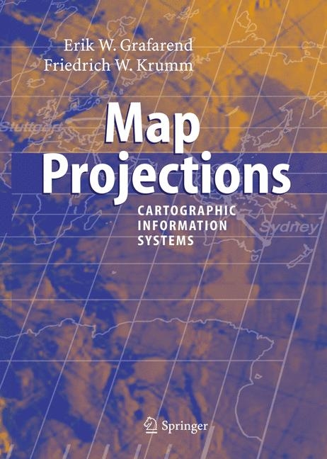
Map Projections
Springer Berlin (Verlag)
978-3-540-36701-7 (ISBN)
- Titel erscheint in neuer Auflage
- Artikel merken
1 From Riemann manifolds to Riemann manifolds.
- 2 From Riemann manifolds to Euclidean manifolds.
- 3 Coordinates.
- 4 Surfaces of Gaussian curvature zero.
- 5 Sphere to tangential plane" : polar (normal) aspect.
- 6 Sphere to tangential plane" : transverse aspect.
- 7 Sphere to tangential plane : oblique aspect.
- 8 Ellipsoid-of-revolution to tangential plane.
- 9 Ellipsoid-of-revolution to sphere and from sphere to plane.
- 10 Sphere to cylinder : polar aspect.
- 11 Sphere to cylinder : transverse aspect.
- 12 Sphere to cylinder : oblique aspect.
- 13 Sphere to cylinder : pseudeo-cylindrical projections.
- 14 Ellipsoid-of-revolution to cylinder : polar aspect.
- 15 Ellipsoid-of-revolution to cylinder : transverse aspect.
- 16 Ellipsoid-of-revolution to cylinder : oblique aspect.
- 17 Sphere to cone : polar aspect.
- 18 Sphere to cone : pseudo-conic projections.
- 19 Ellipsoid-of-revolution to cone : polar aspect.
- 20 Geodetic mapping.
- 21 Datum problems.
- A. Law and Order.
- B. The inverse of a multivariate homogeneous polynomial.
- C. Elliptic integrals.
- D. Korn-Lichtenstein and d'Alembert-Euler equations.
- E. Geodesics.
- F. Mixed cylindric map projections.
- G. Generalized Mollweide projection.
- H. Generalized Hammer projection.
- I. Mercator projection and polycylindric projection.
- J. Gauss surface normal coordinates in geometry and gravity space.
- Bibliography.
- Index.
| Erscheint lt. Verlag | 2.10.2006 |
|---|---|
| Zusatzinfo | XVIII, 714 p. 230 illus. |
| Verlagsort | Berlin |
| Sprache | englisch |
| Maße | 193 x 270 mm |
| Gewicht | 1955 g |
| Themenwelt | Naturwissenschaften ► Geowissenschaften ► Geografie / Kartografie |
| Naturwissenschaften ► Geowissenschaften ► Geophysik | |
| Schlagworte | geographical information system • Geoinformationssysteme • GIS • Informationssystem • Kartographie • map • Photogrammetry • Remote Sensing |
| ISBN-10 | 3-540-36701-2 / 3540367012 |
| ISBN-13 | 978-3-540-36701-7 / 9783540367017 |
| Zustand | Neuware |
| Haben Sie eine Frage zum Produkt? |
aus dem Bereich


