3-D Structural Geology
Springer Berlin (Verlag)
978-3-540-31054-9 (ISBN)
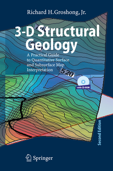
Geological structures are three dimensional, yet are typically represented by, and - terpreted from, outcrop maps and structure contour maps, both of which are curved two-dimensional surfaces. Maps plus serial sections, called 2½-D, provide a closer approach to three dimensionality. Computer technology now makes it possible for geological interpretations to be developed from the beginning in a fully three dim- sional environment. Fully 3-D geological models allow significantly better interpre- tions and interpretations that are much easier to share with other geologists and with the general public. This book provides an overview of techniques for constructing structural interpretations in 2-D, 2½-D and 3-D environments; for interpolating - tween and extrapolating beyond the control points; and for validating the final int- pretation. The underlying philosophy is that structures are three-dimensional solid bodies and that data from throughout the structure, whether in 2-D or 3-D format, should be integrated into an internally consistent 3-D interpretation. It is assumed that most users of this book will do their work on a computer. C- sequently, the book provides quantitative structural methods and techniques that are designed for use with spreadsheets, mapping software, and three-dimensional c- puter-graphics programs. The book is also intended to provide the background for understanding what interpretive software, for example, a computer contouring p- gram, does automatically. Most techniques are presented in both a traditional format appropriate for paper, pencil, and a pocket calculator, and in quantitative format for use with spreadsheets and computer-graphics or computer-aided-design programs.
Review of elements of structural geology.- Fundamental building blocks of structural interpretation.- Techniques of hand and computer contouring.- Definitions of thickness, thickness measurements, interpretation of isopach and isocore maps.- Geometry of folds.- Construction techniques for illustrative and predictive cross sections.- Recognition of faults and unconformities.- Building of internally consistent 3-D structural interpretations.- Dip-sequence analysis of folds and faults.- Quality control of maps and cross sections.- Concepts and techniques for structural validation, restoration, and prediction.- Derivations of the basic equations of vector geometry.
From the reviews of the second edition:
"In the second edition, material has been reorganized to follow more closely the typical workflowof the exploration geologist. ... The book has its place on the shelves of exploration geologists and some structural geology researchers. ... this is a useful and well produced book." (Nigel Woodcock, Geological Magazine, Vol. 144 (2), 2007)
From the reviews of the second edition:"In the second edition, material has been reorganized to follow more closely the typical workflowof the exploration geologist. … The book has its place on the shelves of exploration geologists and some structural geology researchers. … this is a useful and well produced book." (Nigel Woodcock, Geological Magazine, Vol. 144 (2), 2007)
| Erscheint lt. Verlag | 13.3.2006 |
|---|---|
| Zusatzinfo | XVI, 400 p. With online files/update. |
| Verlagsort | Berlin |
| Sprache | englisch |
| Gewicht | 840 g |
| Themenwelt | Naturwissenschaften ► Geowissenschaften ► Geologie |
| Schlagworte | Fault • faults • folds • Fundament • Geologie • Kartierung • mapping • Structural Geology • Structural validation |
| ISBN-10 | 3-540-31054-1 / 3540310541 |
| ISBN-13 | 978-3-540-31054-9 / 9783540310549 |
| Zustand | Neuware |
| Haben Sie eine Frage zum Produkt? |
aus dem Bereich


