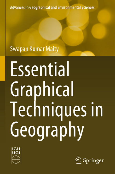
Essential Graphical Techniques in Geography
Springer Verlag, Singapore
978-981-16-6587-5 (ISBN)
Dr. Swapan Kumar Maity is an assistant professor of geography at Nayagram P. R. M. Government College, Jhargram, West Bengal, India. He completed his doctoral degree at Vidyasagar University with his dissertation titled Mechanisms of sedimentation in the lower reach of the Rupnarayan River. Dr. Maity has 7 years of teaching experience at the undergraduate level in geography and 2 years at the postgraduate level in geography and environmental management. His teaching interests include geotectonics, geomorphology, climatology and practical geography, including remote sensing and GIS. His main research areas include fluvial geomorphology, river sedimentation and sediment mineralogy. He has published several research articles in renowned journals and two books from Springer in the field of the mechanism and environment of river sedimentation. Dr. Maity is a life member of the Indian Institute of Geomorphologists.
Concept, types, collection, classification and representation of geographical data.- Representation of geographical data using graphs.- Diagramatic representation of geographical data.- Mapping techniques of geographical data.
| Erscheinungsdatum | 06.12.2022 |
|---|---|
| Reihe/Serie | Advances in Geographical and Environmental Sciences |
| Zusatzinfo | 24 Illustrations, color; 137 Illustrations, black and white; XXXII, 310 p. 161 illus., 24 illus. in color. |
| Verlagsort | Singapore |
| Sprache | englisch |
| Maße | 155 x 235 mm |
| Themenwelt | Naturwissenschaften ► Geowissenschaften ► Geografie / Kartografie |
| ISBN-10 | 981-16-6587-7 / 9811665877 |
| ISBN-13 | 978-981-16-6587-5 / 9789811665875 |
| Zustand | Neuware |
| Haben Sie eine Frage zum Produkt? |
aus dem Bereich


