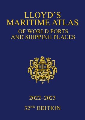
Lloyd's Maritime Atlas of World Ports and Shipping Places 2022-2023
Informa Law (Verlag)
978-1-032-05929-7 (ISBN)
- Titel erscheint in neuer Auflage
- Artikel merken
Informa Law from Routledge
World Distance Tables; User Guide; Symbols and Abbreviations; LNG Terminals; GENERAL; World Fleet Statistics; Index Map; WORLD AND OCEAN MAPS; Weather Hazards at Sea; International Load Line Zones; MARPOL, PSSA and SECA; Vaccinations; Piracy Hotspots; North Atlantic Ocean; Atlantic and Indian Oceans; Pacific Ocean; Arctic; Antarctic; REGIONAL MAPS; United Kingdom and Ireland Insets: Clyde; Humber, Trent; Tyne, Tees Thames; English Channel Fact panel: Seine-Oise-Marne; North Sea; Northern Europe; Belgium, Netherlands and Germany Fact panels: Rhine, Western Scheldt; Southern Scandinavia Fact panel: Lake Vanern; Baltic Sea Fact panel: Saimaa Canal; Black Sea, Caspian Sea Fact panel: Volga, Don; Mediterranean Sea; Bay of Biscay; Strait of Gibraltar; Northern Mediterranean; Gulf of Naples; Gulf of Venice; Gulf of Tunis; Aegean Sea Inset: Piraeus; Easter Mediterranean; Africa and the Middle East Inset: Azores; West Africa; Saudi Arabia, Ethiopia & Somalia; South-East Africa; Persian Gulf; South Asia Inset: Hong Kong Fact panel: Yangtze (Chiang Jiang); India; Gulf of Thailand; Malaysia, Indonesia Insets: Singapore; Brunei Darussalam; Strait of Malacca; Philippines; Japan; China, Korea; Australasia and Pacific Islands; North America; Pacific Northwest; Southern California; Eastern United States Inset: Bermuda; Great Lakes Fact panel: Great Lakes; Gulf of St. Lawrence Fact panel: St. Lawrence Seaway; Easter Seaboard Inset: New York; Central America; Caribbean Sea; South America Fact panel: Amazon; River Plate, Southern Brazil Fact panel: Parana; CANALS; Kiel Canal; Rhine-Main-Danube Canal; Suez Canal; Panama Canal; Geographical Index; Alphabetical Index
| Erscheinungsdatum | 01.11.2021 |
|---|---|
| Zusatzinfo | 54 Line drawings, color; 54 Illustrations, color |
| Sprache | englisch |
| Maße | 210 x 297 mm |
| Gewicht | 784 g |
| Themenwelt | Naturwissenschaften ► Geowissenschaften ► Geografie / Kartografie |
| Recht / Steuern ► Allgemeines / Lexika | |
| Recht / Steuern ► EU / Internationales Recht | |
| ISBN-10 | 1-032-05929-X / 103205929X |
| ISBN-13 | 978-1-032-05929-7 / 9781032059297 |
| Zustand | Neuware |
| Haben Sie eine Frage zum Produkt? |
aus dem Bereich


