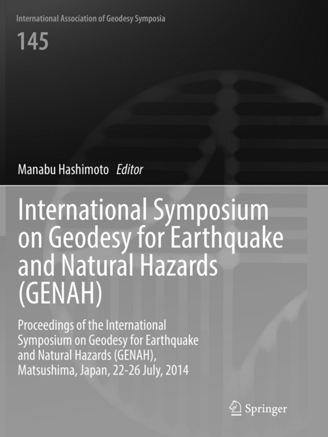
International Symposium on Geodesy for Earthquake and Natural Hazards (GENAH)
Springer International Publishing (Verlag)
978-3-319-81962-4 (ISBN)
These proceedings contain a selection of peer-reviewed papers presented at the International Symposium on Geodesy for Earthquake and Natural Hazards (GENAH), Matsushima, Japan, 22-26 July, 2014. The scientific sessions focused on monitoring temporal and spatial changes in Earth's lithosphere and atmosphere using geodetic satellite systems, high rate GNSS as well as high resolution imaging (InSAR, Lidar). Researchers in various fields of geodesy discussed the role of geodesy in disaster mitigation and how groups with different techniques can collaborate toward such a goal.
Part 1 - Subduction Zone Earthquake.- Achievement of the Project for Advanced GPS/Acoustic Survey in the Last Four Years.- Interplate-Coupling in and Around the Rupture Area of the 2011 Tohoku-Earthquake (M9.0) Before its Occurrence Based on Terrestrial and Sea-Floor-Geodetic Observations.- Part 2 - Geodetic Observations of the Earthquake Deformation Cycle.- Geodetic and Geomorphic Evaluations of Earthquake Generation Potential of the Northern Sumatran Fault, Indonesia.- Virtual Quake: Statistics, Co-Seismic Deformations and Gravity Changes for Driven Earthquake Fault-Systems.- Dynamic Strain in a South African Gold Mine by the 2011 Tohoku-Earthquake.- Twenty-Two Years of Combined GPS Products for Geophysical Applications and a Decade of Seismogeodesy.- Earthquake Risk on the San Andreas Fault System in Northern California.- Rheological Structure beneath the NE Japan Inferred from Coseismic Strain Anomalies Associated with the 2011 Tohoku-oki earthquake (Mw9.0).- Paradoxical Vertical Crustal Movement Along the Pacific Coast of Northeast Japan.- Forecasting earthquakes with the Virtual Quake simulator: Regional and fault-partitioned catalogs.- Part 3 - Near Real-Time Warning.- Development and assessment of real-1 time fault model estimation routines in the GEONET real-time processing system.- Buoy Platform Development for Observation of Tsunami and Crustal deformation.- GPS/Acoustic Measurement Using a Multipurpose Moored Buoy System.- Part 4 - Interaction of Earthquakes and Volcanoes.- Pressure Sources of Miyakejima Volcano Estimated From Crustal Deformation.- Part 5 - Natural Hazards.- Application of A10 absolute gravimeter for monitoring land subsidence in Jakarta, Indonesia.- Introduction to the Gravity Database (GALILEO) Compiled by the Geological Survey of Japan.- GPS Tsunami Meter using Satellite Communication System with a Function which Measures Ocean Bottom Crustal Movements.- Ground Deformation in the Kyoto and Osaka Area During Recent 19.
| Erscheinungsdatum | 05.03.2022 |
|---|---|
| Reihe/Serie | International Association of Geodesy Symposia |
| Zusatzinfo | VIII, 168 p. 30 illus., 20 illus. in color. |
| Verlagsort | Cham |
| Sprache | englisch |
| Maße | 210 x 279 mm |
| Gewicht | 469 g |
| Themenwelt | Naturwissenschaften ► Geowissenschaften ► Geologie |
| Naturwissenschaften ► Geowissenschaften ► Geophysik | |
| Schlagworte | GENAH 2014 • GEONET real-time • GPS Tsunami meter • natural hazard monitoring • Northern Sumatran Fault • Remote Sensing/Photogrammetry • Seismogeodesy |
| ISBN-10 | 3-319-81962-3 / 3319819623 |
| ISBN-13 | 978-3-319-81962-4 / 9783319819624 |
| Zustand | Neuware |
| Haben Sie eine Frage zum Produkt? |
aus dem Bereich


