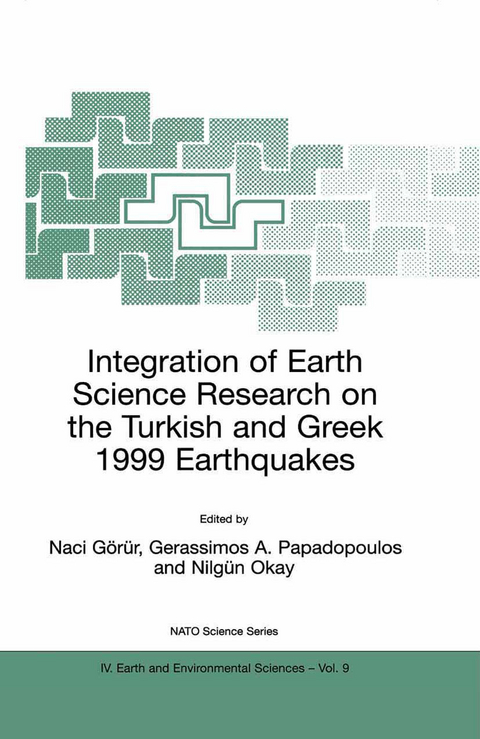
Integration of Earth Science Research on the Turkish and Greek 1999 Earthquakes
Springer-Verlag New York Inc.
978-1-4020-0653-1 (ISBN)
1. Turkish 1999 Earthquake.- 1. The 17 August 1999 Gölcük (Kocaeli)- Arifiye (Adapazari) and 12 November 1999 Düzce earthquakes, NW Turkey: their mechanism and tectonic significance.- 2. Imaging of the Izmit rupture from the strong motion records.- 3. Tectonic setting of the eastern Marmara Sea.- 4. Transition of the North Anatolian Fault Zone (NAFZ) in the Sea of Marmara.- 5. Western extension of the north Anatolian Fault and associated structures in the Gulf of Saros, NE Aegean Sea.- 6. Methane in sediments of the deep Marmara Sea and its relation to local tectonic structures.- 7. The tsunami threat in the Sea of Marmara, Turkey: A review.- 8. Earthquakes of the Marmara Sea Basin: Reflections on the need for co-operation between historian and scientist.- 2. Greek 1999 Earthquake.- 9. The Athens earthquake September 7,1999: Neotectonic regime and geodynamic phenomena.- 10. Three dimensional P-wave crustal velocity structure beneath Athens region (Greece) using micro-earthquake data.- 11. Earthquake triggering in Greece and the case of the 7 September 1999 Athens Earthquake.- 12. Destructive earthquakes and seismotectonics in the Gulf of Corinth, Central Greece: A Review.- 13. Trans-Aegean seismicity, seismic hazard and defences.- 14. Methods for imaging earthquake deformation using satellite data and digital elevation models.
| Erscheint lt. Verlag | 30.6.2002 |
|---|---|
| Reihe/Serie | Nato Science Series: IV: Earth and Environmental Sciences ; 9 |
| Zusatzinfo | XVI, 207 p. |
| Verlagsort | New York, NY |
| Sprache | englisch |
| Maße | 155 x 235 mm |
| Themenwelt | Naturwissenschaften ► Geowissenschaften ► Geologie |
| Naturwissenschaften ► Geowissenschaften ► Geophysik | |
| Naturwissenschaften ► Geowissenschaften ► Hydrologie / Ozeanografie | |
| ISBN-10 | 1-4020-0653-5 / 1402006535 |
| ISBN-13 | 978-1-4020-0653-1 / 9781402006531 |
| Zustand | Neuware |
| Haben Sie eine Frage zum Produkt? |
aus dem Bereich


