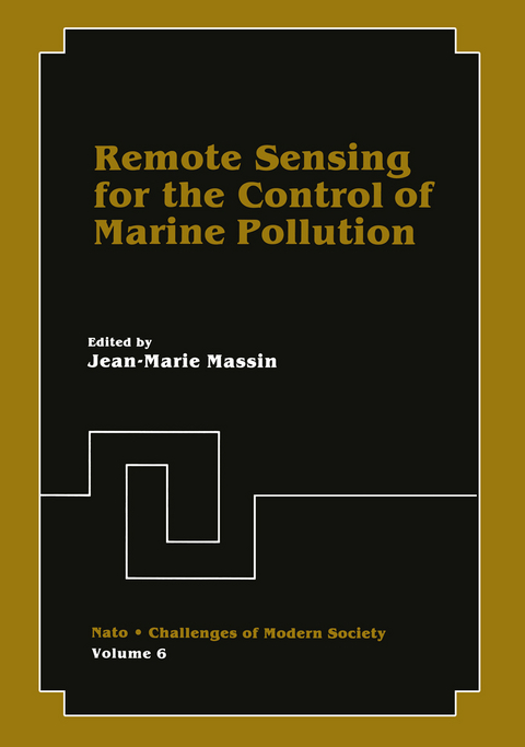
Remote Sensing for the Control of Marine Pollution
Springer-Verlag New York Inc.
978-1-4612-9719-2 (ISBN)
Conclusions and Recommendations.- National Requirements.- The Remote Sensing Requirements for Oil Spills in Canada.- National Requirements for Airborne Maritime Surveillance.- National Requirements in the Federal Republic of Germany.- National Requirements in The Netherlands.- Requirements for the Remote Sensing of Oil on the Sea.- The United States Coast Guard’s Remote Aerial Sensing Program.- National Programs.- A Danish Airborne Oil Pollution Monitoring and Coastal Surveillance System: State of Art and Beyond.- The Operational Oil Pollution Surveillance System Being Used in France.- Research and Development Programs Relevant to the Remote Sensing of Oil Spills.- Remote Sensing Program for Oil Detection in The Netherlands.- Aerial Photography Interpreted for Contingency Planning, Spill Prevention, Compliance Monitoring and Spill Surveillance.- Aireye: A New Generation Oil Pollution Sensing System for the 80’s.- Airborne Oil Spill Surveillance Systems in Sweden.- Technical Results.- Optical Measurements of Crude Oil Samples under Simulated Natural Conditions.- Remote Sensing Analysis of Oil Pollutiorin Augusta Bay, Sicily, Italy.- High Contrast Imaging of an Oil Slick by Means of a Low Light Level Television.- Oil on the Sea: Application of Pattern Recognition Techniques to Thermal Infrared and SPOT Images.- An Analysis of Multispectral Line Scanner Imagery from Two Test Oil Spills.- Detection of Oil Slicks Using Real Aperture and Synthetic Aperture Imaging Radars-Experimental Results.- Oil Spill Detection Using a Multipurpose: Synthetic Aperture Radar.- Infrared Line Scanner and Side Looking Airborne Radar used for Remote Sensing of Oil on the Sea.- Evaluation of Infrared Line Scanner (IRLS) and Side Looking Airborne Radar (SLAR) over Controlled Oil Spills in theNorth Sea.- Observation of Two Test Oil Spills with a Microwave Scatterometer and a Synthetic Aperture Radar.- Measurements of the Distribution and Volume of Sea-Surface Oil Spills Using Multifrequency Microwave Radiometry.- Microwave Measurements over the North Sea.- Detection of Oil Pollutants Using Remote Sensing Techniques.- Optical Disgnostic of Oil Pollution.- Oil Spill Detection and Identification Using a Laser Fluorosensor.- The Dutch Experience with Remote Sensing of Oil Pollution.- Presentation of Maps Showing the Drift of the Oil from the Amoco Cadiz.- The Use of Satellites for Oil Spill Detection.- An Assessment of the Use of Space Technology in Monitoring Oil Spills and Ocean Pollution.- Capabilities of SEASAT Synthetic-Aperture Radar for Imaging the Ocean Surface.- A Large Scale Monitoring of the Hydrocarbon Pollution from the LANDSAT Satellite.- The First European Remote Sensing Satellite (ERS-1): Overall Description, Potential Applications and Users.- The International Standardized Oil Wake Experiments (ISOWAKE).- The Procedures International Standardized Oil Wake Experiment (ISOWAKE).- The Dutch Isowake Experiment of November 1980.- The French Isowake Experiment (Toulon, September, 1980).- Use of an Infrared Line Scanner and a Side Looking Airborne Radar to Detect Oil Discharges from Ships (ISOWAKE Experiments).- The Isowake-Med Experiment.- Contributors’ Addresses.- Participants.
| Erscheint lt. Verlag | 2.10.2011 |
|---|---|
| Reihe/Serie | Nato - Challenges of Modern Society ; 6 |
| Zusatzinfo | 190 Illustrations, black and white; XII, 466 p. 190 illus. |
| Verlagsort | New York, NY |
| Sprache | englisch |
| Maße | 178 x 254 mm |
| Themenwelt | Naturwissenschaften ► Physik / Astronomie ► Allgemeines / Lexika |
| ISBN-10 | 1-4612-9719-2 / 1461297192 |
| ISBN-13 | 978-1-4612-9719-2 / 9781461297192 |
| Zustand | Neuware |
| Haben Sie eine Frage zum Produkt? |
aus dem Bereich


